Houville-la-Branche (Houville-la-Branche)

- commune in Eure-et-Loir, France
- Country:

- Postal Code: 28700
- Coordinates: 48° 26' 35" N, 1° 38' 30" E


- GPS tracks (wikiloc): [Link]
- Area: 13.88 sq km
- Population: 452
- Wikipedia en: wiki(en)
- Wikipedia: wiki(fr)
- Wikidata storage: Wikidata: Q1140029
- Wikipedia Commons Category: [Link]
- Freebase ID: [/m/03nqv0q]
- GeoNames ID: Alt: [6430763]
- SIREN number: [212801948]
- BnF ID: [15254124g]
- INSEE municipality code: 28194
Shares border with regions:


Umpeau
- commune in Eure-et-Loir, France
- Country:
- Postal Code: 28700
- Coordinates: 48° 28' 37" N, 1° 40' 18" E
- GPS tracks (wikiloc): [Link]
- Area: 11.49 sq km
- Population: 396

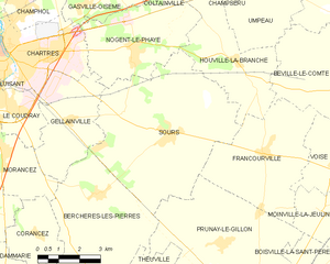
Sours
- commune in Eure-et-Loir, France
- Country:
- Postal Code: 28630
- Coordinates: 48° 24' 36" N, 1° 35' 50" E
- GPS tracks (wikiloc): [Link]
- Area: 33.15 sq km
- Population: 1927