Huparlac (Huparlac)

- commune in Aveyron, France
- Country:

- Postal Code: 12460
- Coordinates: 44° 42' 50" N, 2° 45' 43" E


- GPS tracks (wikiloc): [Link]
- Area: 24.7 sq km
- Population: 251
- Wikipedia en: wiki(en)
- Wikipedia: wiki(fr)
- Wikidata storage: Wikidata: Q1153301
- Wikipedia Commons Category: [Link]
- Freebase ID: [/m/03m9423]
- GeoNames ID: Alt: [3012974]
- SIREN number: [211201165]
- BnF ID: [152470926]
- INSEE municipality code: 12116
Shares border with regions:

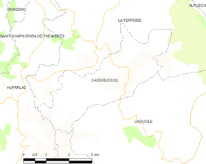
Cassuéjouls
- commune in Aveyron, France
- Country:
- Postal Code: 12210
- Coordinates: 44° 43' 35" N, 2° 49' 3" E
- GPS tracks (wikiloc): [Link]
- Area: 10.35 sq km
- Population: 112


Saint-Amans-des-Cots
- commune in Aveyron, France
- Country:
- Postal Code: 12460
- Coordinates: 44° 41' 21" N, 2° 39' 34" E
- GPS tracks (wikiloc): [Link]
- Area: 41.51 sq km
- Population: 763


Saint-Symphorien-de-Thénières
- commune in Aveyron, France
- Country:
- Postal Code: 12460
- Coordinates: 44° 44' 14" N, 2° 43' 44" E
- GPS tracks (wikiloc): [Link]
- AboveSeaLevel: 724 м m
- Area: 31.63 sq km
- Population: 219


Soulages-Bonneval
- commune in Aveyron, France
- Country:
- Postal Code: 12210
- Coordinates: 44° 40' 35" N, 2° 47' 21" E
- GPS tracks (wikiloc): [Link]
- Area: 15.16 sq km
- Population: 295