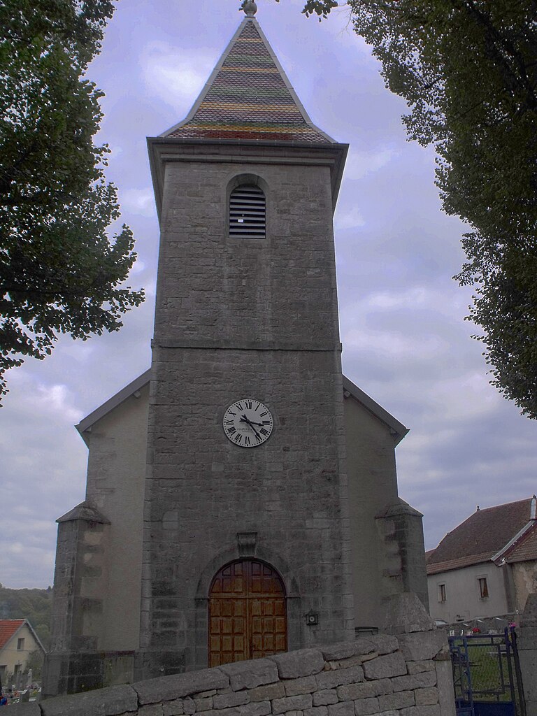
Hyèvre-Paroisse (Hyèvre-Paroisse)

- commune in Doubs, France
 Hiking in Hyèvre-Paroisse
Hyèvre-Paroisse is a charming village located in the Jura department of eastern France, nestled in the stunning Jura Mountains. This area is known for its beautiful landscapes, rich biodiversity, and a variety of outdoor activities, including hiking.
Hiking Opportunities in Hyèvre-Paroisse:
-
Scenic Trails: The region features numerous hiking trails with varying levels of difficulty, making it suitable for beginners and experienced hikers alike. The trails often offer breathtaking views of the surrounding mountains, forests, and valleys.
-
Natural Features: Hikers can expect to encounter diverse natural features, such as limestone cliffs, cascading streams, and lush forests. The unique geology of the Jura Mountains contributes to the stunning scenery.
-
Wildlife Watching: The area is home to a variety of wildlife, including deer, foxes, and numerous bird species. Keep your eyes peeled for sightings while on the trails.
-
Cultural Heritage: In addition to the natural beauty, you may come across historical sites along the hiking routes, such as old stone walls, chapels, or traditional Jura architecture.
-
Local Guides: If you're new to the area or would like to learn more about the local flora and fauna, consider hiring a local guide. They can provide insights into the ecology and history of the region.
Tips for Hiking in Hyèvre-Paroisse:
-
Seasonal Considerations: Spring and autumn are particularly beautiful times to hike due to mild weather and vibrant foliage. Always check the weather forecast before heading out.
-
Safety: Carry enough water and snacks, wear appropriate footwear, and let someone know your hiking plans. Some trails may be remote, so it's essential to be prepared.
-
Trail Maps: Make use of local maps or hiking apps to navigate the trails effectively. Familiarize yourself with the route beforehand.
-
Respect Nature: Follow the Leave No Trace principles, respect wildlife, and stay on marked trails to preserve the natural beauty of the area.
Hyèvre-Paroisse provides a wonderful backdrop for a memorable hiking adventure, combining natural beauty with a rich cultural experience. Enjoy your hike!
- Country:

- Postal Code: 25110
- Coordinates: 47° 22' 17" N, 6° 25' 49" E


- GPS tracks (wikiloc): [Link]
- Area: 8.79 sq km
- Population: 186
- Wikipedia en: wiki(en)
- Wikipedia: wiki(fr)
- Wikidata storage: Wikidata: Q905136
- Wikipedia Commons Category: [Link]
- Freebase ID: [/m/03mhb3m]
- Freebase ID: [/m/03mhb3m]
- GeoNames ID: Alt: [6429828]
- GeoNames ID: Alt: [6429828]
- SIREN number: [212503130]
- SIREN number: [212503130]
- BnF ID: [152525394]
- BnF ID: [152525394]
- INSEE municipality code: 25313
- INSEE municipality code: 25313
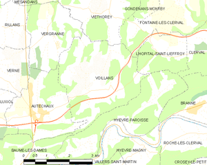
Shares border with regions:


Roche-lès-Clerval
- commune in Doubs, France
Hiking in Roche-lès-Clerval
Roche-lès-Clerval is a charming commune in the Doubs department in eastern France, surrounded by beautiful natural scenery, making it a lovely spot for hiking enthusiasts. The area is characterized by rolling hills, forests, and picturesque landscapes, offering a variety of trails for different skill levels. Here are some highlights about hiking in Roche-lès-Clerval and the surrounding region:...
- Country:
- Postal Code: 25340
- Coordinates: 47° 22' 3" N, 6° 28' 53" E
- GPS tracks (wikiloc): [Link]
- Area: 5.34 sq km
- Population: 129
Voillans
- commune in Doubs, France
Hiking in Voillans
Voillans is a picturesque village located in the Franche-Comté region of eastern France, known for its beautiful landscapes and serene natural surroundings. Hiking in and around Voillans offers a great opportunity to explore the scenic beauty of the area, including rolling hills, forests, and small rivers....
- Country:
- Postal Code: 25110
- Coordinates: 47° 23' 12" N, 6° 24' 47" E
- GPS tracks (wikiloc): [Link]
- Area: 10.12 sq km
- Population: 207


Clerval
- former commune in Doubs, France
Hiking in Clerval
Clerval, located in the Doubs department of the Bourgogne-Franche-Comté region in eastern France, offers a charming backdrop for hiking enthusiasts. The area is rich in natural beauty, with rolling hills, forests, and the scenic Doubs River winding through the landscape....
- Country:
- Postal Code: 25340
- Coordinates: 47° 23' 32" N, 6° 29' 51" E
- GPS tracks (wikiloc): [Link]
- Area: 11.83 sq km
- Population: 1035


Baume-les-Dames
- commune in Doubs, France
Hiking in Baume-les-Dames
Baume-les-Dames, located in the Doubs department of eastern France, is surrounded by scenic landscapes that offer a variety of hiking opportunities. Here are some key highlights about hiking in this charming area:...
- Country:
- Postal Code: 25110
- Coordinates: 47° 21' 8" N, 6° 21' 36" E
- GPS tracks (wikiloc): [Link]
- Area: 24.79 sq km
- Population: 5241
- Web site: [Link]


Branne
- commune in Doubs, France
Hiking in Branne
Branne is a charming village in the Doubs department of the Bourgogne-Franche-Comté region in eastern France. This area is known for its picturesque landscapes, rolling hills, and forested mountains, making it a wonderful destination for hiking enthusiasts....
- Country:
- Postal Code: 25340
- Coordinates: 47° 22' 36" N, 6° 28' 21" E
- GPS tracks (wikiloc): [Link]
- Area: 6.45 sq km
- Population: 169


Hyèvre-Magny
- commune in Doubs, France
Hiking in Hyèvre-Magny
Hyèvre-Magny is a small commune located in the Doubs department of France. While it might not be as widely known as some larger hiking destinations, it offers some scenic spots and trails that are worth exploring, especially for those looking for a quieter, rural hiking experience....
- Country:
- Postal Code: 25110
- Coordinates: 47° 21' 58" N, 6° 26' 15" E
- GPS tracks (wikiloc): [Link]
- Area: 3.41 sq km
- Population: 76


L'Hôpital-Saint-Lieffroy
- commune in Doubs, France
Hiking in L'Hôpital-Saint-Lieffroy
L'Hôpital-Saint-Lieffroy is a charming commune in the Auvergne-Rhône-Alpes region of France. It's not as widely known for its hiking trails as some larger areas, but it offers a lovely countryside experience. Here are some highlights for hiking in and around L'Hôpital-Saint-Lieffroy:...
- Country:
- Postal Code: 25340
- Coordinates: 47° 23' 56" N, 6° 27' 27" E
- GPS tracks (wikiloc): [Link]
- Area: 3.43 sq km
- Population: 108