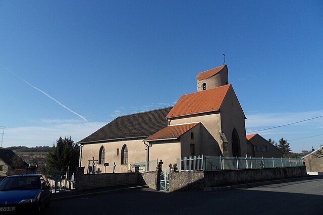
Imling (Imling)

- commune in Moselle, France
- Country:

- Postal Code: 57400
- Coordinates: 48° 43' 10" N, 7° 1' 26" E


- GPS tracks (wikiloc): [Link]
- Area: 6.11 sq km
- Population: 703
- Wikipedia en: wiki(en)
- Wikipedia: wiki(fr)
- Wikidata storage: Wikidata: Q22274
- Wikipedia Commons Category: [Link]
- Freebase ID: [/m/03qdyqt]
- Freebase ID: [/m/03qdyqt]
- GeoNames ID: Alt: [6437613]
- GeoNames ID: Alt: [6437613]
- SIREN number: [215703448]
- SIREN number: [215703448]
- BnF ID: [15265850d]
- BnF ID: [15265850d]
- PACTOLS thesaurus ID: [pcrtTyfBNqoDnX]
- PACTOLS thesaurus ID: [pcrtTyfBNqoDnX]
- INSEE municipality code: 57344
- INSEE municipality code: 57344
Shares border with regions:


Bébing
- commune in Moselle, France
- Country:
- Postal Code: 57830
- Coordinates: 48° 42' 44" N, 6° 59' 47" E
- GPS tracks (wikiloc): [Link]
- Area: 9.57 sq km
- Population: 195

Xouaxange
- commune in Moselle, France
- Country:
- Postal Code: 57830
- Coordinates: 48° 41' 48" N, 6° 59' 50" E
- GPS tracks (wikiloc): [Link]
- Area: 5.16 sq km
- Population: 310


Hesse
- commune in Moselle, France
- Country:
- Postal Code: 57400
- Coordinates: 48° 41' 42" N, 7° 2' 49" E
- GPS tracks (wikiloc): [Link]
- Area: 12.85 sq km
- Population: 582


Sarrebourg
- commune in Moselle, France
- Country:
- Postal Code: 57400
- Coordinates: 48° 44' 5" N, 7° 3' 14" E
- GPS tracks (wikiloc): [Link]
- AboveSeaLevel: 325 м m
- Area: 16.4 sq km
- Population: 12259
- Web site: [Link]