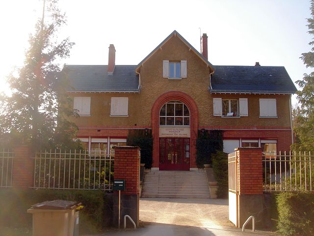
Ingrannes (Ingrannes)

- commune in Loiret, France
- Country:

- Postal Code: 45450
- Coordinates: 47° 59' 28" N, 2° 12' 48" E


- GPS tracks (wikiloc): [Link]
- Area: 38.98 sq km
- Population: 519
- Wikipedia en: wiki(en)
- Wikipedia: wiki(fr)
- Wikidata storage: Wikidata: Q1423945
- Wikipedia Commons Category: [Link]
- Freebase ID: [/m/092n5h]
- GeoNames ID: Alt: [6434618]
- SIREN number: [214501686]
- BnF ID: [15260560p]
- MusicBrainz area ID: [070e148f-9dcc-4183-9e56-16b989b67220]
- INSEE municipality code: 45168
Shares border with regions:

Chambon-la-Forêt
- commune in Loiret, France
- Country:
- Postal Code: 45340
- Coordinates: 48° 3' 23" N, 2° 17' 43" E
- GPS tracks (wikiloc): [Link]
- Area: 17.16 sq km
- Population: 938


Chilleurs-aux-Bois
- commune in Loiret, France
- Country:
- Postal Code: 45170
- Coordinates: 48° 4' 20" N, 2° 8' 5" E
- GPS tracks (wikiloc): [Link]
- Area: 52.22 sq km
- Population: 2016
- Web site: [Link]


Seichebrières
- commune in Loiret, France
- Country:
- Postal Code: 45530
- Coordinates: 47° 58' 10" N, 2° 16' 9" E
- GPS tracks (wikiloc): [Link]
- Area: 14.84 sq km
- Population: 199


Sully-la-Chapelle
- commune in Loiret, France
- Country:
- Postal Code: 45450
- Coordinates: 47° 58' 33" N, 2° 10' 56" E
- GPS tracks (wikiloc): [Link]
- Area: 26.17 sq km
- Population: 412


Vrigny
- commune in Loiret, France
- Country:
- Postal Code: 45300
- Coordinates: 48° 4' 51" N, 2° 14' 36" E
- GPS tracks (wikiloc): [Link]
- Area: 16.14 sq km
- Population: 841


Vitry-aux-Loges
- commune in Loiret, France
- Country:
- Postal Code: 45530
- Coordinates: 47° 56' 24" N, 2° 15' 58" E
- GPS tracks (wikiloc): [Link]
- Area: 44.06 sq km
- Population: 2058
- Web site: [Link]
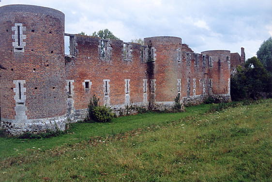
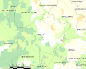
Nibelle
- commune in Loiret, France
- Country:
- Postal Code: 45340
- Coordinates: 48° 1' 22" N, 2° 19' 38" E
- GPS tracks (wikiloc): [Link]
- Area: 27.18 sq km
- Population: 1155


Courcy-aux-Loges
- commune in Loiret, France
- Country:
- Postal Code: 45300
- Coordinates: 48° 3' 52" N, 2° 12' 45" E
- GPS tracks (wikiloc): [Link]
- Area: 20.9 sq km
- Population: 429
- Web site: [Link]