Jallerange (Jallerange)

- commune in Doubs, France
- Country:

- Postal Code: 25170
- Coordinates: 47° 15' 15" N, 5° 43' 0" E


- GPS tracks (wikiloc): [Link]
- Area: 5.41 sq km
- Population: 245
- Wikipedia en: wiki(en)
- Wikipedia: wiki(fr)
- Wikidata storage: Wikidata: Q904602
- Wikipedia Commons Category: [Link]
- Freebase ID: [/m/03mhb5b]
- Freebase ID: [/m/03mhb5b]
- GeoNames ID: Alt: [6612390]
- GeoNames ID: Alt: [6612390]
- SIREN number: [212503171]
- SIREN number: [212503171]
- BnF ID: [15252543c]
- BnF ID: [15252543c]
- INSEE municipality code: 25317
- INSEE municipality code: 25317
Shares border with regions:

Chenevrey-et-Morogne
- commune in Haute-Saône, France
- Country:
- Postal Code: 70150
- Coordinates: 47° 16' 58" N, 5° 44' 36" E
- GPS tracks (wikiloc): [Link]
- Area: 8.86 sq km
- Population: 300


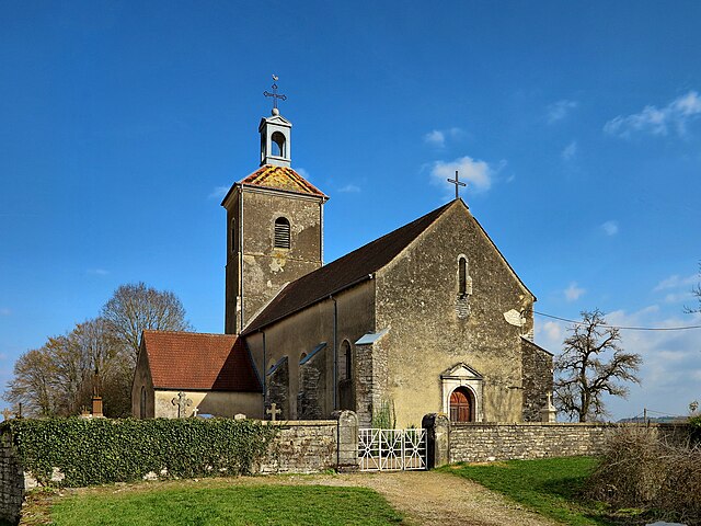
Étrabonne
- commune in Doubs, France
 Hiking in Étrabonne
Étrabonne, located in the Auvergne-Rhône-Alpes region of France, is a charming destination for hiking enthusiasts. Surrounded by the serene beauty of the French Alps, this area offers a variety of trails suitable for all levels of hikers, from beginners to experienced trekkers....
- Country:
- Postal Code: 25170
- Coordinates: 47° 14' 2" N, 5° 44' 33" E
- GPS tracks (wikiloc): [Link]
- Area: 5.52 sq km
- Population: 195


Pagney
- commune in Jura, France
- Country:
- Postal Code: 39350
- Coordinates: 47° 14' 57" N, 5° 42' 9" E
- GPS tracks (wikiloc): [Link]
- Area: 5.99 sq km
- Population: 354


Le Moutherot
- commune in Doubs, France
Hiking in Le Moutherot
Le Moutherot is a charming area in the Jura Mountains of France, known for its scenic landscapes and outdoor recreational opportunities, including hiking. The region features a variety of trails that accommodate different skill levels, making it suitable for both novice hikers and experienced adventurers....
- Country:
- Postal Code: 25170
- Coordinates: 47° 14' 35" N, 5° 43' 56" E
- GPS tracks (wikiloc): [Link]
- Area: 1.3 sq km
- Population: 131


Courchapon
- commune in Doubs, France
Hiking in Courchapon
Courchapon is a beautiful area that offers fantastic hiking opportunities, particularly for those who enjoy exploring natural landscapes in France. It is located in the Jura region, which is known for its rolling hills, dense forests, and stunning views of the surrounding mountains and valleys....
- Country:
- Postal Code: 25170
- Coordinates: 47° 15' 49" N, 5° 44' 50" E
- GPS tracks (wikiloc): [Link]
- Area: 5.31 sq km
- Population: 192


Sornay
- commune in Haute-Saône, France
- Country:
- Postal Code: 70150
- Coordinates: 47° 16' 42" N, 5° 41' 52" E
- GPS tracks (wikiloc): [Link]
- Area: 6.29 sq km
- Population: 326