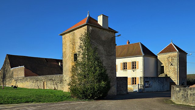
Chenevrey-et-Morogne (Chenevrey-et-Morogne)

- commune in Haute-Saône, France
- Country:

- Postal Code: 70150
- Coordinates: 47° 16' 58" N, 5° 44' 36" E


- GPS tracks (wikiloc): [Link]
- Area: 8.86 sq km
- Population: 300
- Wikipedia en: wiki(en)
- Wikipedia: wiki(fr)
- Wikidata storage: Wikidata: Q289697
- Wikipedia Commons Category: [Link]
- Freebase ID: [/m/03ntldk]
- GeoNames ID: Alt: [6441876]
- SIREN number: [217001502]
- BnF ID: [152725444]
- INSEE municipality code: 70150
Shares border with regions:

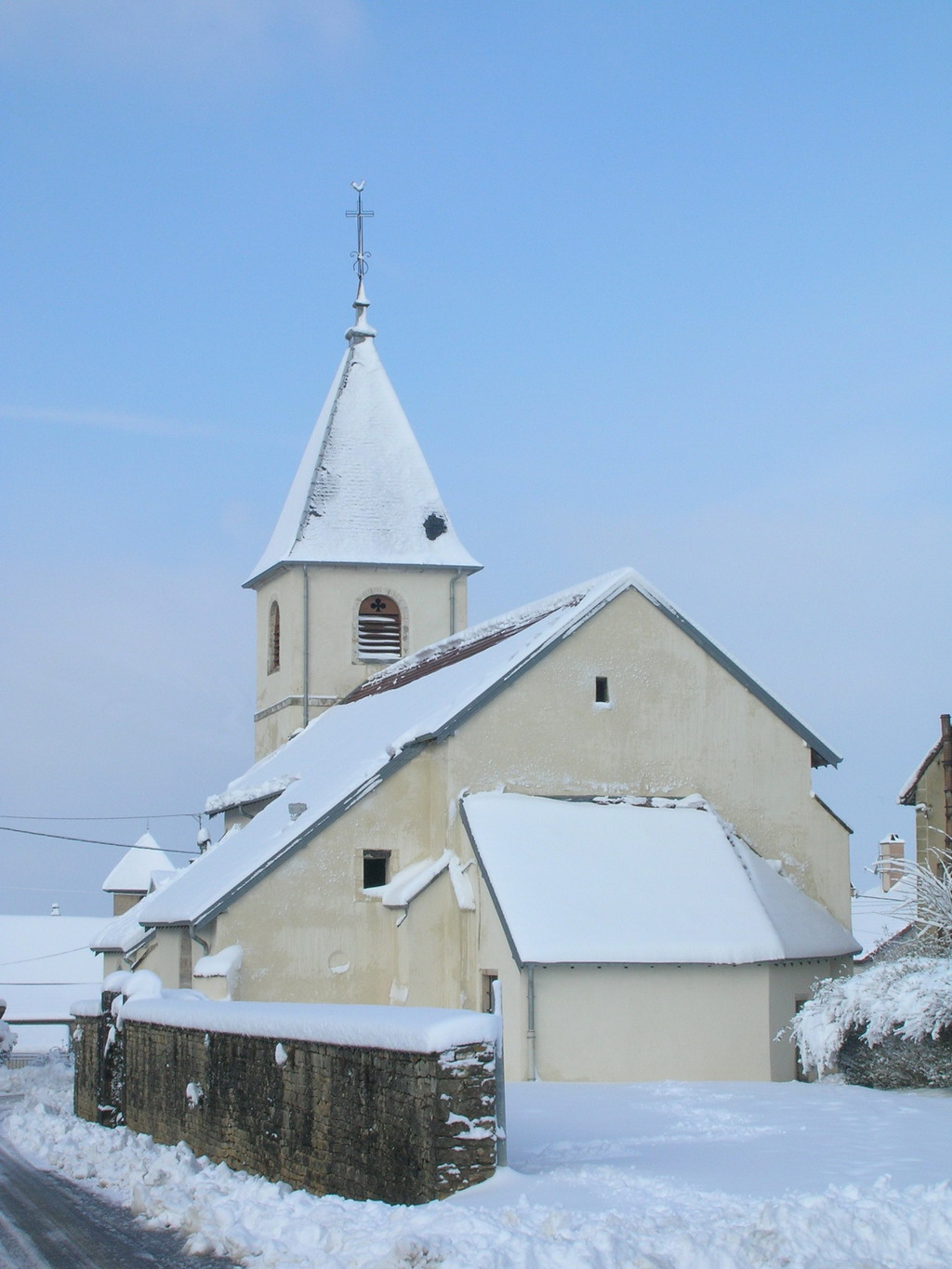
Cult, Haute-Saône
- commune in Haute-Saône, France
- Country:
- Postal Code: 70150
- Coordinates: 47° 18' 49" N, 5° 44' 19" E
- GPS tracks (wikiloc): [Link]
- Area: 6.88 sq km
- Population: 223


Bay, Haute-Saône
- commune in Haute-Saône, France
- Country:
- Postal Code: 70150
- Coordinates: 47° 17' 20" N, 5° 43' 12" E
- GPS tracks (wikiloc): [Link]
- Area: 4.87 sq km
- Population: 133


Courchapon
- commune in Doubs, France
 Hiking in Courchapon
Courchapon is a beautiful area that offers fantastic hiking opportunities, particularly for those who enjoy exploring natural landscapes in France. It is located in the Jura region, which is known for its rolling hills, dense forests, and stunning views of the surrounding mountains and valleys....
- Country:
- Postal Code: 25170
- Coordinates: 47° 15' 49" N, 5° 44' 50" E
- GPS tracks (wikiloc): [Link]
- Area: 5.31 sq km
- Population: 192


Marnay
- commune in Haute-Saône, France
- Country:
- Postal Code: 70150
- Coordinates: 47° 17' 23" N, 5° 46' 18" E
- GPS tracks (wikiloc): [Link]
- Area: 10.37 sq km
- Population: 1464
- Web site: [Link]

Burgille
- commune in Doubs, France
Hiking in Burgille
Burgille might not be a widely recognized hiking destination, so if you’re referring to a specific region or local area that might have hiking opportunities, please clarify the location....
- Country:
- Postal Code: 25170
- Coordinates: 47° 16' 4" N, 5° 46' 31" E
- GPS tracks (wikiloc): [Link]
- Area: 9.28 sq km
- Population: 548


Sornay
- commune in Haute-Saône, France
- Country:
- Postal Code: 70150
- Coordinates: 47° 16' 42" N, 5° 41' 52" E
- GPS tracks (wikiloc): [Link]
- Area: 6.29 sq km
- Population: 326


Jallerange
- commune in Doubs, France
- Country:
- Postal Code: 25170
- Coordinates: 47° 15' 15" N, 5° 43' 0" E
- GPS tracks (wikiloc): [Link]
- Area: 5.41 sq km
- Population: 245