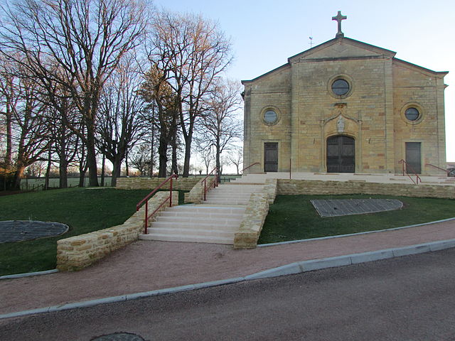
Jarnosse (Jarnosse)

- commune in Loire, France
- Country:

- Postal Code: 42460
- Coordinates: 46° 6' 32" N, 4° 13' 56" E


- GPS tracks (wikiloc): [Link]
- Area: 11.88 sq km
- Population: 441
- Wikipedia en: wiki(en)
- Wikipedia: wiki(fr)
- Wikidata storage: Wikidata: Q1151452
- Wikipedia Commons Category: [Link]
- Freebase ID: [/m/03nwbg3]
- Freebase ID: [/m/03nwbg3]
- GeoNames ID: Alt: [6434179]
- GeoNames ID: Alt: [6434179]
- SIREN number: [214201121]
- SIREN number: [214201121]
- BnF ID: [15259680j]
- BnF ID: [15259680j]
- INSEE municipality code: 42112
- INSEE municipality code: 42112
Shares border with regions:
Cuinzier
- commune in Loire, France
- Country:
- Postal Code: 42460
- Coordinates: 46° 7' 39" N, 4° 16' 1" E
- GPS tracks (wikiloc): [Link]
- Area: 5.62 sq km
- Population: 731
Boyer
- commune in Loire, France
- Country:
- Postal Code: 42460
- Coordinates: 46° 5' 51" N, 4° 12' 34" E
- GPS tracks (wikiloc): [Link]
- Area: 5.18 sq km
- Population: 202
Villers
- commune in Loire, France
- Country:
- Postal Code: 42460
- Coordinates: 46° 7' 17" N, 4° 13' 21" E
- GPS tracks (wikiloc): [Link]
- Area: 5.73 sq km
- Population: 576


Sevelinges
- commune in Loire, France
- Country:
- Postal Code: 42460
- Coordinates: 46° 5' 54" N, 4° 17' 45" E
- GPS tracks (wikiloc): [Link]
- Area: 8.19 sq km
- Population: 649

Saint-Hilaire-sous-Charlieu
- commune in Loire, France
- Country:
- Postal Code: 42190
- Coordinates: 46° 7' 18" N, 4° 10' 59" E
- GPS tracks (wikiloc): [Link]
- Area: 13.51 sq km
- Population: 555


La Gresle
- commune in Loire, France
- Country:
- Postal Code: 42460
- Coordinates: 46° 4' 32" N, 4° 16' 56" E
- GPS tracks (wikiloc): [Link]
- Area: 14.75 sq km
- Population: 834


Coutouvre
- commune in Loire, France
- Country:
- Postal Code: 42460
- Coordinates: 46° 4' 22" N, 4° 12' 42" E
- GPS tracks (wikiloc): [Link]
- Area: 21.87 sq km
- Population: 1113