arrondissement of Roanne (arrondissement de Roanne)

- arrondissement of France
- Country:

- Capital: Roanne
- Coordinates: 46° 1' 58" N, 4° 4' 8" E


- GPS tracks (wikiloc): [Link]
- Area: 1780 sq km
- Population: 157071
- Wikipedia en: wiki(en)
- Wikipedia: wiki(fr)
- Wikidata storage: Wikidata: Q702225
- Freebase ID: [/m/095hy8]
- GeoNames ID: Alt: [2983360]
- INSEE arrondissement code: [422]
Includes regions:
canton of La Pacaudière
- canton of France (until March 2015)
- Country:
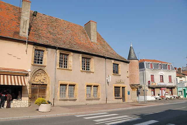
- Capital: La Pacaudière
- Coordinates: 46° 10' 52" N, 3° 52' 29" E
- GPS tracks (wikiloc): [Link]

canton of Saint-Symphorien-de-Lay
- canton of France
- Country:
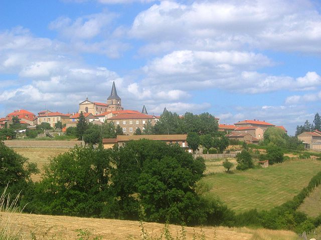
- Capital: Saint-Symphorien-de-Lay
- Coordinates: 45° 56' 39" N, 4° 11' 56" E
- GPS tracks (wikiloc): [Link]


canton of Belmont-de-la-Loire
- canton of France
- Country:
- Capital: Belmont-de-la-Loire
- Coordinates: 46° 8' 23" N, 4° 19' 8" E
- GPS tracks (wikiloc): [Link]


canton of Charlieu
- canton of France
- Country:
- Capital: Charlieu
- Coordinates: 46° 8' 20" N, 4° 10' 58" E
- GPS tracks (wikiloc): [Link]
- Population: 29554

canton of Saint-Germain-Laval
- canton of France
- Country:
- Capital: Saint-Germain-Laval
- Coordinates: 45° 51' 56" N, 4° 0' 34" E
- GPS tracks (wikiloc): [Link]

canton of Saint-Haon-le-Châtel
- canton of France
- Country:
- Capital: Saint-Haon-le-Châtel
- Coordinates: 46° 3' 57" N, 3° 55' 19" E
- GPS tracks (wikiloc): [Link]


canton of Saint-Just-en-Chevalet
- canton of France (until March 2015)
- Country:
- Capital: Saint-Just-en-Chevalet
- Coordinates: 45° 54' 38" N, 3° 50' 48" E
- GPS tracks (wikiloc): [Link]