Jugy (Jugy)

- commune in Saône-et-Loire, France
- Country:

- Postal Code: 71240
- Coordinates: 46° 36' 26" N, 4° 51' 55" E


- GPS tracks (wikiloc): [Link]
- Area: 7.69 sq km
- Population: 329
- Web site: http://www.mairie-jugy.fr
- Wikipedia en: wiki(en)
- Wikipedia: wiki(fr)
- Wikidata storage: Wikidata: Q610298
- Wikipedia Commons Category: [Link]
- Wikipedia Commons Maps Category: [Link]
- Freebase ID: [/m/03qgkm2]
- Freebase ID: [/m/03qgkm2]
- GeoNames ID: Alt: [6442285]
- GeoNames ID: Alt: [6442285]
- SIREN number: [217102458]
- SIREN number: [217102458]
- BnF ID: [15273217n]
- BnF ID: [15273217n]
- INSEE municipality code: 71245
- INSEE municipality code: 71245
Shares border with regions:


Boyer
- commune in Saône-et-Loire, France
- Country:
- Postal Code: 71700
- Coordinates: 46° 35' 32" N, 4° 53' 6" E
- GPS tracks (wikiloc): [Link]
- Area: 16.93 sq km
- Population: 700
- Web site: [Link]


Montceaux-Ragny
- commune in Saône-et-Loire, France
- Country:
- Postal Code: 71240
- Coordinates: 46° 37' 16" N, 4° 50' 36" E
- GPS tracks (wikiloc): [Link]
- Area: 2.53 sq km
- Population: 32
- Web site: [Link]
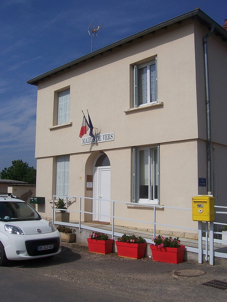

Vers
- commune in Saône-et-Loire, France
- Country:
- Postal Code: 71240
- Coordinates: 46° 35' 2" N, 4° 51' 22" E
- GPS tracks (wikiloc): [Link]
- Area: 4.18 sq km
- Population: 232


Sennecey-le-Grand
- commune in Saône-et-Loire, France
- Country:
- Postal Code: 71240
- Coordinates: 46° 38' 33" N, 4° 52' 13" E
- GPS tracks (wikiloc): [Link]
- Area: 26.76 sq km
- Population: 3144
- Web site: [Link]


Nanton, Saône-et-Loire
- commune in Saône-et-Loire, France
- Country:
- Postal Code: 71240
- Coordinates: 46° 37' 11" N, 4° 48' 58" E
- GPS tracks (wikiloc): [Link]
- Area: 14.03 sq km
- Population: 633
- Web site: [Link]