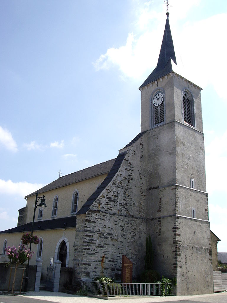
Juillan (Juillan)

- commune in Hautes-Pyrénées, France
- Country:

- Postal Code: 65290
- Coordinates: 43° 12' 5" N, 0° 1' 24" E


- GPS tracks (wikiloc): [Link]
- Area: 8.2 sq km
- Population: 4139
- Web site: http://www.juillan.fr
- Wikipedia en: wiki(en)
- Wikipedia: wiki(fr)
- Wikidata storage: Wikidata: Q1340987
- Wikipedia Commons Category: [Link]
- Freebase ID: [/m/03nv5nr]
- Freebase ID: [/m/03nv5nr]
- GeoNames ID: Alt: [3012109]
- GeoNames ID: Alt: [3012109]
- SIREN number: [216502351]
- SIREN number: [216502351]
- BnF ID: [15270615b]
- BnF ID: [15270615b]
- VIAF ID: Alt: [128302653]
- VIAF ID: Alt: [128302653]
- Library of Congress authority ID: Alt: [nr2002005624]
- Library of Congress authority ID: Alt: [nr2002005624]
- INSEE municipality code: 65235
- INSEE municipality code: 65235
Shares border with regions:


Azereix
- commune in Hautes-Pyrénées, France
- Country:
- Postal Code: 65380
- Coordinates: 43° 12' 31" N, 0° 0' 29" E
- GPS tracks (wikiloc): [Link]
- Area: 15.2 sq km
- Population: 996
- Web site: [Link]

Louey
- commune in Hautes-Pyrénées, France
- Country:
- Postal Code: 65290
- Coordinates: 43° 10' 31" N, 0° 1' 12" E
- GPS tracks (wikiloc): [Link]
- Area: 6.06 sq km
- Population: 962


Ibos
- commune in Hautes-Pyrénées, France
- Country:
- Postal Code: 65420
- Coordinates: 43° 13' 59" N, 0° 0' 6" E
- GPS tracks (wikiloc): [Link]
- AboveSeaLevel: 321 м m
- Area: 32.88 sq km
- Population: 2887
- Web site: [Link]


Tarbes
- commune in Hautes-Pyrénées, France
- Country:
- Postal Code: 65000
- Coordinates: 43° 13' 58" N, 0° 4' 28" E
- GPS tracks (wikiloc): [Link]
- Area: 15.33 sq km
- Population: 40593
- Web site: [Link]


Odos
- commune in Hautes-Pyrénées, France
- Country:
- Postal Code: 65310
- Coordinates: 43° 11' 45" N, 0° 3' 28" E
- GPS tracks (wikiloc): [Link]
- Area: 8.77 sq km
- Population: 3201
- Web site: [Link]