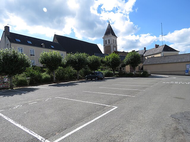
Jupilles (Jupilles)
- commune in Sarthe, France
- Country:

- Postal Code: 72500
- Coordinates: 47° 47' 25" N, 0° 24' 49" E


- GPS tracks (wikiloc): [Link]
- Area: 26.41 sq km
- Population: 569
- Wikipedia en: wiki(en)
- Wikipedia: wiki(fr)
- Wikidata storage: Wikidata: Q1226427
- Wikipedia Commons Category: [Link]
- Freebase ID: [/m/03qk_7n]
- GeoNames ID: Alt: [6442587]
- SIREN number: [217201532]
- BnF ID: [152737082]
- WOEID: [595764]
- INSEE municipality code: 72153
Shares border with regions:


Beaumont-Pied-de-Bœuf
- commune in Sarthe, France
- Country:

- Postal Code: 72500
- Coordinates: 47° 45' 35" N, 0° 24' 4" E


- GPS tracks (wikiloc): [Link]
- Area: 24.68 sq km
- Population: 483


Marigné-Laillé
- commune in Sarthe, France
- Country:

- Postal Code: 72220
- Coordinates: 47° 49' 8" N, 0° 20' 23" E


- GPS tracks (wikiloc): [Link]
- Area: 32.73 sq km
- Population: 1652
- Web site: [Link]


Pruillé-l'Éguillé
- commune in Sarthe, France
- Country:

- Postal Code: 72150
- Coordinates: 47° 50' 16" N, 0° 25' 46" E


- GPS tracks (wikiloc): [Link]
- Area: 21.18 sq km
- Population: 823


Thoiré-sur-Dinan
- commune in Sarthe, France
- Country:

- Postal Code: 72500
- Coordinates: 47° 45' 16" N, 0° 26' 56" E


- GPS tracks (wikiloc): [Link]
- Area: 17.72 sq km
- Population: 478


Saint-Vincent-du-Lorouër
- commune in Sarthe, France
- Country:

- Postal Code: 72150
- Coordinates: 47° 49' 32" N, 0° 29' 20" E


- GPS tracks (wikiloc): [Link]
- Area: 26.96 sq km
- Population: 876
