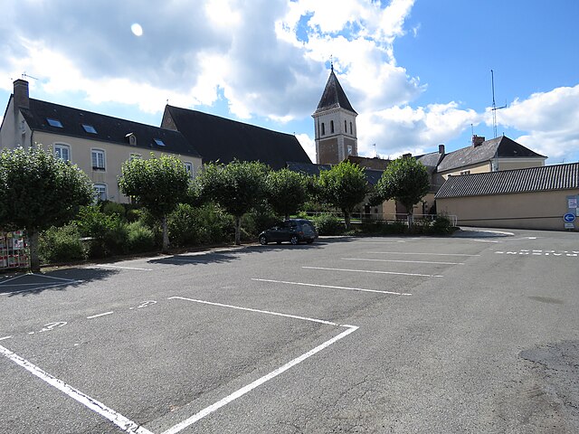
Saint-Vincent-du-Lorouër (Saint-Vincent-du-Lorouër)

- commune in Sarthe, France
- Country:

- Postal Code: 72150
- Coordinates: 47° 49' 32" N, 0° 29' 20" E


- GPS tracks (wikiloc): [Link]
- Area: 26.96 sq km
- Population: 876
- Wikipedia en: wiki(en)
- Wikipedia: wiki(fr)
- Wikidata storage: Wikidata: Q910894
- Wikipedia Commons Category: [Link]
- Freebase ID: [/m/03qj2lf]
- GeoNames ID: Alt: [6442730]
- SIREN number: [217203256]
- BnF ID: [152738775]
- INSEE municipality code: 72325
Shares border with regions:


Jupilles
- commune in Sarthe, France
- Country:
- Postal Code: 72500
- Coordinates: 47° 47' 25" N, 0° 24' 49" E
- GPS tracks (wikiloc): [Link]
- Area: 26.41 sq km
- Population: 569

Pruillé-l'Éguillé
- commune in Sarthe, France
- Country:
- Postal Code: 72150
- Coordinates: 47° 50' 16" N, 0° 25' 46" E
- GPS tracks (wikiloc): [Link]
- Area: 21.18 sq km
- Population: 823


Courdemanche, Sarthe
- commune in Sarthe, France
- Country:
- Postal Code: 72150
- Coordinates: 47° 48' 52" N, 0° 33' 46" E
- GPS tracks (wikiloc): [Link]
- Area: 24.02 sq km
- Population: 616


Saint-Pierre-du-Lorouër
- commune in Sarthe, France
- Country:
- Postal Code: 72150
- Coordinates: 47° 48' 20" N, 0° 31' 20" E
- GPS tracks (wikiloc): [Link]
- Area: 16.55 sq km
- Population: 376


Thoiré-sur-Dinan
- commune in Sarthe, France
- Country:
- Postal Code: 72500
- Coordinates: 47° 45' 16" N, 0° 26' 56" E
- GPS tracks (wikiloc): [Link]
- Area: 17.72 sq km
- Population: 478
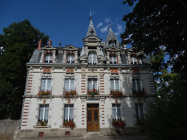

Le Grand-Lucé
- commune in Sarthe, France
- Country:
- Postal Code: 72150
- Coordinates: 47° 51' 54" N, 0° 28' 10" E
- GPS tracks (wikiloc): [Link]
- Area: 27.26 sq km
- Population: 1917