Lérigneux (Lérigneux)

- commune in Loire, France
- Country:

- Postal Code: 42600
- Coordinates: 45° 36' 3" N, 3° 57' 54" E


- GPS tracks (wikiloc): [Link]
- Area: 9.76 sq km
- Population: 147
- Wikipedia en: wiki(en)
- Wikipedia: wiki(fr)
- Wikidata storage: Wikidata: Q1107482
- Wikipedia Commons Category: [Link]
- Freebase ID: [/m/03nwbbp]
- Freebase ID: [/m/03nwbbp]
- GeoNames ID: Alt: [3002337]
- GeoNames ID: Alt: [3002337]
- SIREN number: [214201212]
- SIREN number: [214201212]
- INSEE municipality code: 42121
- INSEE municipality code: 42121
Shares border with regions:


Essertines-en-Châtelneuf
- commune in Loire, France
- Country:
- Postal Code: 42600
- Coordinates: 45° 37' 9" N, 3° 59' 52" E
- GPS tracks (wikiloc): [Link]
- Area: 15.2 sq km
- Population: 688


Bard
- commune in Loire, France
- Country:
- Postal Code: 42600
- Coordinates: 45° 35' 15" N, 4° 0' 41" E
- GPS tracks (wikiloc): [Link]
- Area: 13.78 sq km
- Population: 654

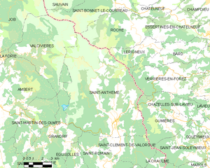
Saint-Anthème
- commune in Puy-de-Dôme, France
- Country:
- Postal Code: 63660
- Coordinates: 45° 31' 40" N, 3° 55' 2" E
- GPS tracks (wikiloc): [Link]
- Area: 68.89 sq km
- Population: 703
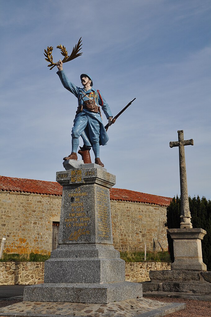

Roche
- commune in Loire, France
- Country:
- Postal Code: 42600
- Coordinates: 45° 36' 52" N, 3° 56' 43" E
- GPS tracks (wikiloc): [Link]
- Area: 23.33 sq km
- Population: 263
- Web site: [Link]