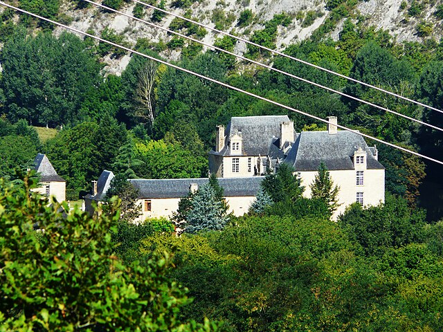
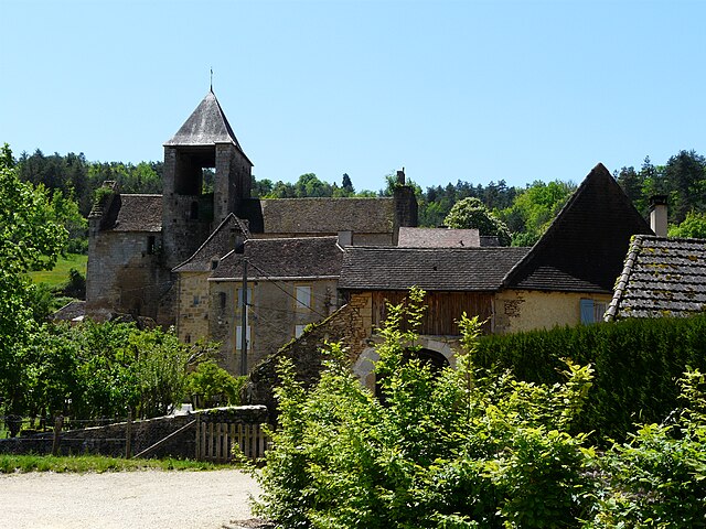
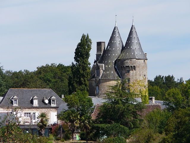
La Bachellerie (La Bachellerie)

- commune in Dordogne, France
- Country:

- Postal Code: 24210
- Coordinates: 45° 8' 45" N, 1° 9' 13" E


- GPS tracks (wikiloc): [Link]
- AboveSeaLevel: 121 м m
- Area: 17.34 sq km
- Population: 908
- Web site: http://www.labachellerie-perigord.fr/
- Wikipedia en: wiki(en)
- Wikipedia: wiki(fr)
- Wikidata storage: Wikidata: Q1070386
- Wikipedia Commons Category: [Link]
- Freebase ID: [/m/03mfgt5]
- Freebase ID: [/m/03mfgt5]
- GeoNames ID: Alt: [3011404]
- GeoNames ID: Alt: [3011404]
- SIREN number: [212400204]
- SIREN number: [212400204]
- BnF ID: [15251671n]
- BnF ID: [15251671n]
- TGN ID: [4005936]
- TGN ID: [4005936]
- INSEE municipality code: 24020
- INSEE municipality code: 24020
Shares border with regions:

Aubas
- commune in Dordogne, France
- Country:
- Postal Code: 24290
- Coordinates: 45° 4' 54" N, 1° 11' 27" E
- GPS tracks (wikiloc): [Link]
- Area: 17.53 sq km
- Population: 633
- Web site: [Link]

Auriac-du-Périgord
- commune in Dordogne, France
- Country:
- Postal Code: 24290
- Coordinates: 45° 6' 23" N, 1° 8' 13" E
- GPS tracks (wikiloc): [Link]
- Area: 18.63 sq km
- Population: 384
- Web site: [Link]


Les Farges
- commune in Dordogne, France
- Country:
- Postal Code: 24290
- Coordinates: 45° 6' 55" N, 1° 11' 13" E
- GPS tracks (wikiloc): [Link]
- AboveSeaLevel: 250 м m
- Area: 8.14 sq km
- Population: 317
- Web site: [Link]

Peyrignac
- commune in Dordogne, France
- Country:
- Postal Code: 24210
- Coordinates: 45° 9' 21" N, 1° 11' 29" E
- GPS tracks (wikiloc): [Link]
- Area: 6.3 sq km
- Population: 583
- Web site: [Link]

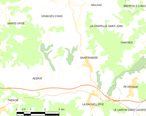
Saint-Rabier
- commune in Dordogne, France
- Country:
- Postal Code: 24210
- Coordinates: 45° 10' 13" N, 1° 9' 5" E
- GPS tracks (wikiloc): [Link]
- Area: 15.87 sq km
- Population: 597


Azerat
- commune in Dordogne, France
- Country:
- Postal Code: 24210
- Coordinates: 45° 9' 0" N, 1° 7' 24" E
- GPS tracks (wikiloc): [Link]
- Area: 20.05 sq km
- Population: 449
- Web site: [Link]


Le Lardin-Saint-Lazare
- commune in Dordogne, France
- Country:
- Postal Code: 24570
- Coordinates: 45° 7' 47" N, 1° 13' 37" E
- GPS tracks (wikiloc): [Link]
- AboveSeaLevel: 86 м m
- Area: 10.85 sq km
- Population: 1808
- Web site: [Link]