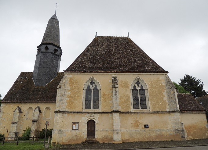
La Bazoche-Gouet (La Bazoche-Gouet)

- commune in Eure-et-Loir, France
- Country:

- Postal Code: 28330
- Coordinates: 48° 8' 19" N, 0° 58' 50" E


- GPS tracks (wikiloc): [Link]
- Area: 37.44 sq km
- Population: 1236
- Wikipedia en: wiki(en)
- Wikipedia: wiki(fr)
- Wikidata storage: Wikidata: Q632152
- Wikipedia Commons Category: [Link]
- Freebase ID: [/m/03nqr_v]
- GeoNames ID: Alt: [6456809]
- SIREN number: [212800270]
- BnF ID: [15253958r]
- VIAF ID: Alt: [310754263]
- SUDOC authorities ID: [180852000]
- INSEE municipality code: 28027
Shares border with regions:


Chapelle-Royale
- commune in Eure-et-Loir, France
- Country:
- Postal Code: 28290
- Coordinates: 48° 8' 40" N, 1° 3' 2" E
- GPS tracks (wikiloc): [Link]
- Area: 9.89 sq km
- Population: 309
- Web site: [Link]

Soizé
- commune in Eure-et-Loir, France
- Country:
- Postal Code: 28330
- Coordinates: 48° 10' 3" N, 0° 53' 14" E
- GPS tracks (wikiloc): [Link]
- Area: 18.13 sq km
- Population: 298


Le Gault-du-Perche
- commune in Loir-et-Cher, France
- Country:
- Postal Code: 41270
- Coordinates: 48° 5' 42" N, 0° 58' 46" E
- GPS tracks (wikiloc): [Link]
- AboveSeaLevel: 228 м m
- Area: 28.2 sq km
- Population: 330
Saint-Avit
- former commune in Loir-et-Cher, France
- Country:
- Postal Code: 41170
- Coordinates: 48° 5' 30" N, 0° 54' 58" E
- GPS tracks (wikiloc): [Link]
- Area: 14.83 sq km
- Population: 98


Saint-Ulphace
- commune in Sarthe, France
- Country:
- Postal Code: 72320
- Coordinates: 48° 9' 30" N, 0° 48' 59" E
- GPS tracks (wikiloc): [Link]
- Area: 15.98 sq km
- Population: 231

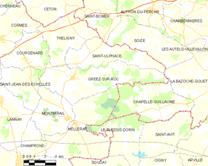
Gréez-sur-Roc
- commune in Sarthe, France
- Country:
- Postal Code: 72320
- Coordinates: 48° 8' 14" N, 0° 47' 41" E
- GPS tracks (wikiloc): [Link]
- Area: 25.38 sq km
- Population: 339