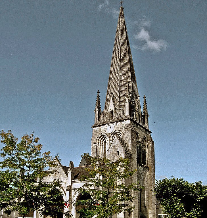
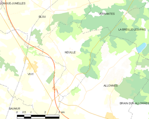
La Breille-les-Pins (La Breille-les-Pins)

- commune in Maine-et-Loire, France
- Country:

- Postal Code: 49390
- Coordinates: 47° 20' 26" N, 0° 4' 40" E


- GPS tracks (wikiloc): [Link]
- Area: 27.57 sq km
- Population: 595
- Web site: http://www.labreillelespins.com
- Wikipedia en: wiki(en)
- Wikipedia: wiki(fr)
- Wikidata storage: Wikidata: Q1104099
- Wikipedia Commons Category: [Link]
- Freebase ID: [/m/03w9j29]
- GeoNames ID: Alt: [6456948]
- SIREN number: [214900458]
- BnF ID: [152616470]
- INSEE municipality code: 49045
Shares border with regions:


Courléon
- commune in Maine-et-Loire, France
- Country:
- Postal Code: 49390
- Coordinates: 47° 23' 26" N, 0° 8' 36" E
- GPS tracks (wikiloc): [Link]
- Area: 13.77 sq km
- Population: 149


Allonnes
- commune in Maine-et-Loire, France
- Country:
- Postal Code: 49650
- Coordinates: 47° 17' 35" N, 0° 1' 24" E
- GPS tracks (wikiloc): [Link]
- AboveSeaLevel: 27 м m
- Area: 36.33 sq km
- Population: 3037
- Web site: [Link]


Brain-sur-Allonnes
- commune in Maine-et-Loire, France
- Country:
- Postal Code: 49650
- Coordinates: 47° 18' 9" N, 0° 3' 55" E
- GPS tracks (wikiloc): [Link]
- Area: 33.32 sq km
- Population: 1980
- Web site: [Link]

Vernantes
- commune in Maine-et-Loire, France
- Country:
- Postal Code: 49390
- Coordinates: 47° 23' 35" N, 0° 3' 7" E
- GPS tracks (wikiloc): [Link]
- Area: 40.77 sq km
- Population: 1988

Neuillé
- commune in Maine-et-Loire, France
- Country:
- Postal Code: 49680
- Coordinates: 47° 20' 28" N, 0° 2' 6" E
- GPS tracks (wikiloc): [Link]
- Area: 13.56 sq km
- Population: 995
- Web site: [Link]


Bourgueil
- commune in Indre-et-Loire, France
- Country:
- Postal Code: 37140
- Coordinates: 47° 16' 55" N, 0° 10' 6" E
- GPS tracks (wikiloc): [Link]
- Area: 32.95 sq km
- Population: 3896
- Web site: [Link]


Saint-Nicolas-de-Bourgueil
- commune in Indre-et-Loire, France
- Country:
- Postal Code: 37140
- Coordinates: 47° 17' 4" N, 0° 7' 32" E
- GPS tracks (wikiloc): [Link]
- Area: 36.45 sq km
- Population: 1119
- Web site: [Link]
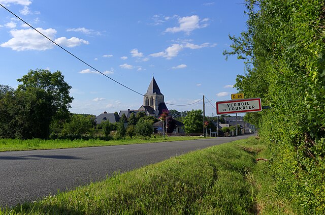

Vernoil-le-Fourrier
- commune in Maine-et-Loire, France
- Country:
- Postal Code: 49390
- Coordinates: 47° 23' 15" N, 0° 4' 45" E
- GPS tracks (wikiloc): [Link]
- Area: 33.1 sq km
- Population: 1271