La Buxerette (La Buxerette)

- commune in Indre, France
- Country:

- Postal Code: 36140
- Coordinates: 46° 29' 41" N, 1° 48' 8" E


- GPS tracks (wikiloc): [Link]
- Area: 10.99 sq km
- Population: 104
- Wikipedia en: wiki(en)
- Wikipedia: wiki(fr)
- Wikidata storage: Wikidata: Q1061421
- Wikipedia Commons Category: [Link]
- Freebase ID: [/m/03nvbb4]
- GeoNames ID: Alt: [6456856]
- SIREN number: [213600281]
- BnF ID: [15257332c]
- INSEE municipality code: 36028
Shares border with regions:


Saint-Denis-de-Jouhet
- commune in Indre, France
- Country:
- Postal Code: 36230
- Coordinates: 46° 31' 50" N, 1° 52' 7" E
- GPS tracks (wikiloc): [Link]
- Area: 43.48 sq km
- Population: 965
- Web site: [Link]

Aigurande
- commune in Indre, France
- Country:
- Postal Code: 36140
- Coordinates: 46° 26' 3" N, 1° 49' 44" E
- GPS tracks (wikiloc): [Link]
- Area: 27.77 sq km
- Population: 1458
- Web site: [Link]


Crozon-sur-Vauvre
- commune in Indre, France
- Country:
- Postal Code: 36140
- Coordinates: 46° 29' 19" N, 1° 52' 13" E
- GPS tracks (wikiloc): [Link]
- Area: 27.69 sq km
- Population: 345

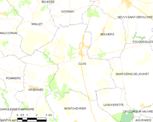
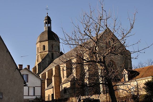
Cluis
- commune in Indre, France
- Country:
- Postal Code: 36340
- Coordinates: 46° 32' 42" N, 1° 44' 55" E
- GPS tracks (wikiloc): [Link]
- Area: 35.32 sq km
- Population: 1000
- Web site: [Link]


Montchevrier
- commune in Indre, France
- Country:
- Postal Code: 36140
- Coordinates: 46° 28' 50" N, 1° 44' 33" E
- GPS tracks (wikiloc): [Link]
- Area: 34.7 sq km
- Population: 459