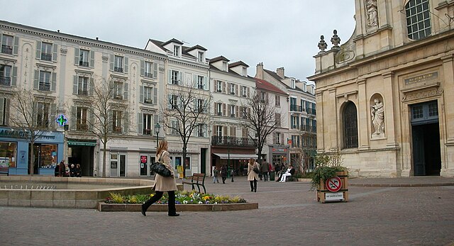
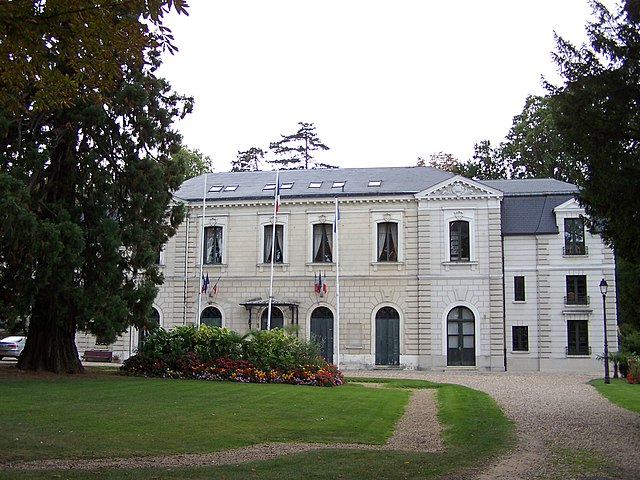
La Celle-Saint-Cloud (La Celle-Saint-Cloud)
- commune in Yvelines, France
- Country:

- Postal Code: 78170
- Coordinates: 48° 51' 0" N, 2° 8' 42" E


- GPS tracks (wikiloc): [Link]
- AboveSeaLevel: 100 м m
- Area: 5.82 sq km
- Population: 21037
- Web site: http://lacellesaintcloud.fr/
- Wikipedia en: wiki(en)
- Wikipedia: wiki(fr)
- Wikidata storage: Wikidata: Q367553
- Wikipedia Commons Category: [Link]
- Freebase ID: [/m/09x3vt]
- Freebase ID: [/m/09x3vt]
- GeoNames ID: Alt: [3010529]
- GeoNames ID: Alt: [3010529]
- SIREN number: [217801265]
- SIREN number: [217801265]
- BnF ID: [15275919r]
- BnF ID: [15275919r]
- VIAF ID: Alt: [153176660]
- VIAF ID: Alt: [153176660]
- GND ID: Alt: [4251444-7]
- GND ID: Alt: [4251444-7]
- archINFORM location ID: [644]
- archINFORM location ID: [644]
- Library of Congress authority ID: Alt: [n85307979]
- Library of Congress authority ID: Alt: [n85307979]
- MusicBrainz area ID: [994162a7-a0a4-4502-bd39-e0afb3757d7e]
- MusicBrainz area ID: [994162a7-a0a4-4502-bd39-e0afb3757d7e]
- Gran Enciclopèdia Catalana ID: [0016833]
- Gran Enciclopèdia Catalana ID: [0016833]
- Twitter username: Alt: [CelloisInfos]
- Twitter username: Alt: [CelloisInfos]
- INSEE municipality code: 78126
- INSEE municipality code: 78126
Shares border with regions:


Rocquencourt
- commune in Yvelines, France
- Country:

- Postal Code: 78150
- Coordinates: 48° 50' 12" N, 2° 6' 39" E


- GPS tracks (wikiloc): [Link]
- Area: 2.78 sq km
- Population: 3174
- Web site: [Link]


Rueil-Malmaison
- commune in Hauts-de-Seine, France
- Country:

- Postal Code: 92500
- Coordinates: 48° 52' 40" N, 2° 11' 18" E


- GPS tracks (wikiloc): [Link]
- Area: 14.7 sq km
- Population: 78794
- Web site: [Link]


Le Chesnay
- commune in Yvelines, France
- Country:

- Postal Code: 78150
- Coordinates: 48° 49' 13" N, 2° 7' 49" E


- GPS tracks (wikiloc): [Link]
- Area: 4.24 sq km
- Population: 28512
- Web site: [Link]


Bougival
- commune in Yvelines, France
- Country:

- Postal Code: 78380
- Coordinates: 48° 51' 54" N, 2° 8' 22" E


- GPS tracks (wikiloc): [Link]
- Area: 2.76 sq km
- Population: 8798
- Web site: [Link]


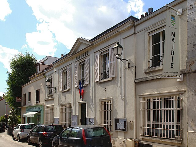
Vaucresson
- commune in Hauts-de-Seine, France
- Country:

- Postal Code: 92420
- Coordinates: 48° 50' 33" N, 2° 9' 10" E


- GPS tracks (wikiloc): [Link]
- Area: 3.08 sq km
- Population: 8688
- Web site: [Link]


Louveciennes
- commune in Yvelines, France
- Country:

- Postal Code: 78431
- Coordinates: 48° 51' 37" N, 2° 6' 59" E


- GPS tracks (wikiloc): [Link]
- Area: 5.37 sq km
- Population: 7143
- Web site: [Link]
