
Rueil-Malmaison (Rueil-Malmaison)

- commune in Hauts-de-Seine, France
- Country:

- Postal Code: 92500
- Coordinates: 48° 52' 40" N, 2° 11' 18" E


- GPS tracks (wikiloc): [Link]
- Area: 14.7 sq km
- Population: 78794
- Web site: https://www.villederueil.fr
- Wikipedia en: wiki(en)
- Wikipedia: wiki(fr)
- Wikidata storage: Wikidata: Q193920
- Wikipedia Commons Gallery: [Link]
- Wikipedia Commons Category: [Link]
- Freebase ID: [/m/02m4dl]
- Freebase ID: [/m/02m4dl]
- Freebase ID: [/m/02m4dl]
- Freebase ID: [/m/02m4dl]
- GeoNames ID: Alt: [2982235]
- GeoNames ID: Alt: [2982235]
- GeoNames ID: Alt: [2982235]
- GeoNames ID: Alt: [2982235]
- SIREN number: [219200631]
- SIREN number: [219200631]
- SIREN number: [219200631]
- SIREN number: [219200631]
- BnF ID: [152802728]
- BnF ID: [152802728]
- BnF ID: [152802728]
- BnF ID: [152802728]
- VIAF ID: Alt: [154461256]
- VIAF ID: Alt: [154461256]
- VIAF ID: Alt: [154461256]
- VIAF ID: Alt: [154461256]
- OSM relation ID: [72261]
- OSM relation ID: [72261]
- OSM relation ID: [72261]
- OSM relation ID: [72261]
- GND ID: Alt: [4461677-6]
- GND ID: Alt: [4461677-6]
- GND ID: Alt: [4461677-6]
- GND ID: Alt: [4461677-6]
- archINFORM location ID: [43196]
- archINFORM location ID: [43196]
- archINFORM location ID: [43196]
- archINFORM location ID: [43196]
- Library of Congress authority ID: Alt: [n79129613]
- Library of Congress authority ID: Alt: [n79129613]
- Library of Congress authority ID: Alt: [n79129613]
- Library of Congress authority ID: Alt: [n79129613]
- PACTOLS thesaurus ID: [pcrtfn8c5fTwq3]
- PACTOLS thesaurus ID: [pcrtfn8c5fTwq3]
- PACTOLS thesaurus ID: [pcrtfn8c5fTwq3]
- PACTOLS thesaurus ID: [pcrtfn8c5fTwq3]
- MusicBrainz area ID: [9b8dea12-9891-4571-85c8-aa23018d7f20]
- MusicBrainz area ID: [9b8dea12-9891-4571-85c8-aa23018d7f20]
- MusicBrainz area ID: [9b8dea12-9891-4571-85c8-aa23018d7f20]
- MusicBrainz area ID: [9b8dea12-9891-4571-85c8-aa23018d7f20]
- Quora topic ID: [Rueil-Malmaison]
- Quora topic ID: [Rueil-Malmaison]
- Quora topic ID: [Rueil-Malmaison]
- Quora topic ID: [Rueil-Malmaison]
- Encyclopædia Britannica Online ID: [place/Rueil-Malmaison]
- Encyclopædia Britannica Online ID: [place/Rueil-Malmaison]
- Encyclopædia Britannica Online ID: [place/Rueil-Malmaison]
- Encyclopædia Britannica Online ID: [place/Rueil-Malmaison]
- Twitter username: Alt: [villederueil]
- Twitter username: Alt: [villederueil]
- Twitter username: Alt: [villederueil]
- Twitter username: Alt: [villederueil]
- INSEE municipality code: 92063
- INSEE municipality code: 92063
- INSEE municipality code: 92063
- INSEE municipality code: 92063
Shares border with regions:

Nanterre
- commune in Hauts-de-Seine, France
- Country:
- Postal Code: 92000
- Coordinates: 48° 53' 26" N, 2° 12' 13" E
- GPS tracks (wikiloc): [Link]
- AboveSeaLevel: 30 м m
- Area: 12.19 sq km
- Population: 93742
- Web site: [Link]


Saint-Cloud
- commune in Hauts-de-Seine, France
- Country:
- Postal Code: 92210
- Coordinates: 48° 50' 47" N, 2° 12' 55" E
- GPS tracks (wikiloc): [Link]
- AboveSeaLevel: 136 м m
- Area: 7.56 sq km
- Population: 29362
- Web site: [Link]


Suresnes
- commune in Hauts-de-Seine, France
- Country:
- Postal Code: 92150
- Coordinates: 48° 52' 16" N, 2° 13' 37" E
- GPS tracks (wikiloc): [Link]
- AboveSeaLevel: 36 м m
- Area: 3.79 sq km
- Population: 48565
- Web site: [Link]

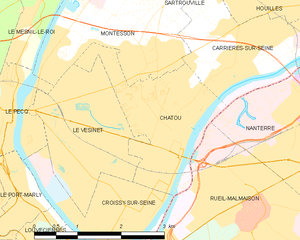
Chatou
- commune in Yvelines, France
- Country:
- Postal Code: 78400
- Coordinates: 48° 53' 26" N, 2° 9' 25" E
- GPS tracks (wikiloc): [Link]
- Area: 5.08 sq km
- Population: 31058
- Web site: [Link]


Garches
- commune in Hauts-de-Seine, France
- Country:
- Postal Code: 92380
- Coordinates: 48° 50' 44" N, 2° 11' 13" E
- GPS tracks (wikiloc): [Link]
- Area: 2.69 sq km
- Population: 17762
- Web site: [Link]


La Celle-Saint-Cloud
- commune in Yvelines, France
- Country:
- Postal Code: 78170
- Coordinates: 48° 51' 0" N, 2° 8' 42" E
- GPS tracks (wikiloc): [Link]
- AboveSeaLevel: 100 м m
- Area: 5.82 sq km
- Population: 21037
- Web site: [Link]


Bougival
- commune in Yvelines, France
- Country:
- Postal Code: 78380
- Coordinates: 48° 51' 54" N, 2° 8' 22" E
- GPS tracks (wikiloc): [Link]
- Area: 2.76 sq km
- Population: 8798
- Web site: [Link]


Croissy-sur-Seine
- commune in Yvelines, France
- Country:
- Postal Code: 78290
- Coordinates: 48° 52' 40" N, 2° 8' 32" E
- GPS tracks (wikiloc): [Link]
- Area: 3.44 sq km
- Population: 10046
- Web site: [Link]
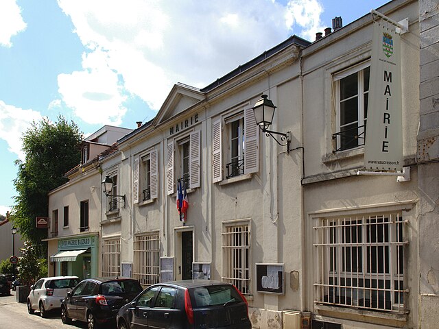

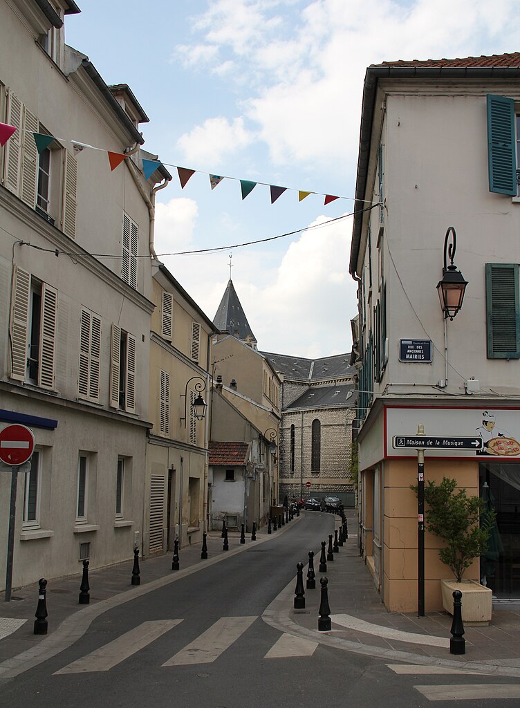
Vaucresson
- commune in Hauts-de-Seine, France
- Country:
- Postal Code: 92420
- Coordinates: 48° 50' 33" N, 2° 9' 10" E
- GPS tracks (wikiloc): [Link]
- Area: 3.08 sq km
- Population: 8688
- Web site: [Link]