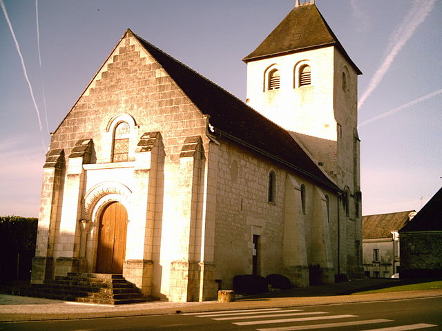
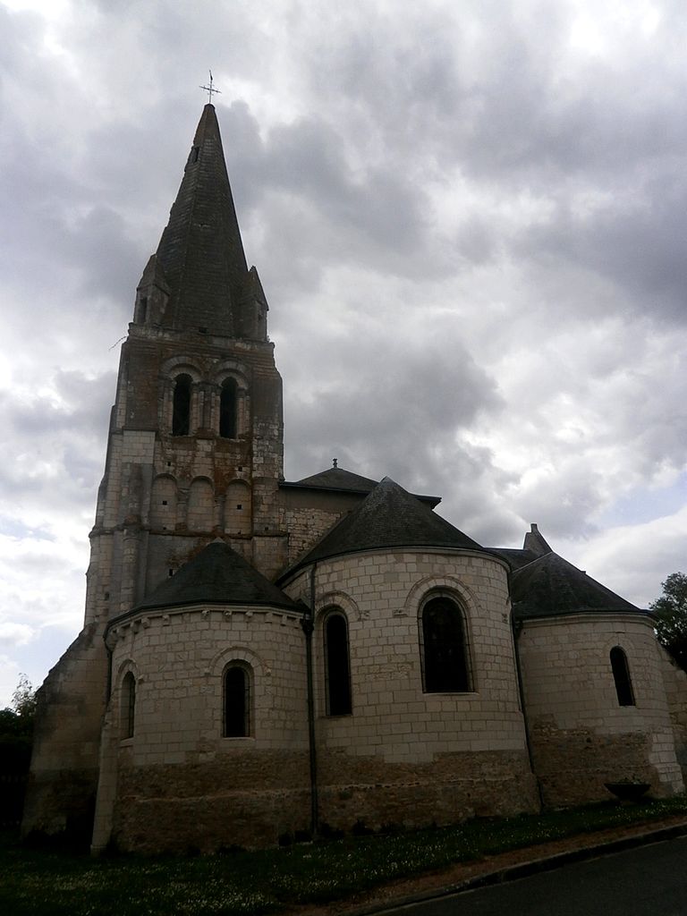
La Chapelle-Blanche-Saint-Martin (La Chapelle-Blanche-Saint-Martin)

- commune in Indre-et-Loire, France
- Country:

- Postal Code: 37240
- Coordinates: 47° 5' 10" N, 0° 47' 32" E


- GPS tracks (wikiloc): [Link]
- Area: 28.5 sq km
- Population: 687
- Web site: http://www.la-chapelleblanche-saintmartin.fr/
- Wikipedia en: wiki(en)
- Wikipedia: wiki(fr)
- Wikidata storage: Wikidata: Q1096308
- Wikipedia Commons Category: [Link]
- Freebase ID: [/m/03nvdbs]
- GeoNames ID: Alt: [6456863]
- SIREN number: [213700578]
- BnF ID: [15257608b]
- INSEE municipality code: 37057
Shares border with regions:


Bossée
- commune in Indre-et-Loire, France
- Country:
- Postal Code: 37240
- Coordinates: 47° 6' 43" N, 0° 43' 44" E
- GPS tracks (wikiloc): [Link]
- Area: 19.01 sq km
- Population: 334


Ligueil
- commune in Indre-et-Loire, France
- Country:
- Postal Code: 37240
- Coordinates: 47° 2' 34" N, 0° 49' 7" E
- GPS tracks (wikiloc): [Link]
- Area: 29.72 sq km
- Population: 2211
- Web site: [Link]

Vou
- commune in Indre-et-Loire, France
- Country:
- Postal Code: 37240
- Coordinates: 47° 5' 7" N, 0° 51' 33" E
- GPS tracks (wikiloc): [Link]
- Area: 21.95 sq km
- Population: 203


Manthelan
- commune in Indre-et-Loire, France
- Country:
- Postal Code: 37240
- Coordinates: 47° 8' 8" N, 0° 47' 35" E
- GPS tracks (wikiloc): [Link]
- Area: 39.58 sq km
- Population: 1385
- Web site: [Link]

Bournan
- commune in Indre-et-Loire, France
- Country:
- Postal Code: 37240
- Coordinates: 47° 3' 44" N, 0° 43' 44" E
- GPS tracks (wikiloc): [Link]
- Area: 14.67 sq km
- Population: 273
- Web site: [Link]