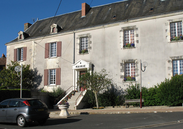
Ligueil (Ligueil)

- commune in Indre-et-Loire, France
- Country:

- Postal Code: 37240
- Coordinates: 47° 2' 34" N, 0° 49' 7" E


- GPS tracks (wikiloc): [Link]
- Area: 29.72 sq km
- Population: 2211
- Web site: http://www.ville-ligueil.fr/
- Wikipedia en: wiki(en)
- Wikipedia: wiki(fr)
- Wikidata storage: Wikidata: Q1141320
- Wikipedia Commons Category: [Link]
- Freebase ID: [/m/03nvfg5]
- GeoNames ID: Alt: [6433037]
- SIREN number: [213701303]
- BnF ID: [15257681d]
- VIAF ID: Alt: [238455476]
- PACTOLS thesaurus ID: [pcrtOFEX0RLcQj]
- INSEE municipality code: 37130
Shares border with regions:


La Chapelle-Blanche-Saint-Martin
- commune in Indre-et-Loire, France
- Country:
- Postal Code: 37240
- Coordinates: 47° 5' 10" N, 0° 47' 32" E
- GPS tracks (wikiloc): [Link]
- Area: 28.5 sq km
- Population: 687
- Web site: [Link]

Cussay
- commune in Indre-et-Loire, France
- Country:
- Postal Code: 37240
- Coordinates: 47° 1' 28" N, 0° 47' 20" E
- GPS tracks (wikiloc): [Link]
- Area: 25.81 sq km
- Population: 578


Ciran
- commune in Indre-et-Loire, France
- Country:
- Postal Code: 37240
- Coordinates: 47° 3' 35" N, 0° 52' 21" E
- GPS tracks (wikiloc): [Link]
- Area: 13.86 sq km
- Population: 425

Vou
- commune in Indre-et-Loire, France
- Country:
- Postal Code: 37240
- Coordinates: 47° 5' 7" N, 0° 51' 33" E
- GPS tracks (wikiloc): [Link]
- Area: 21.95 sq km
- Population: 203


Civray-sur-Esves
- commune in Indre-et-Loire, France
- Country:
- Postal Code: 37160
- Coordinates: 47° 2' 51" N, 0° 42' 39" E
- GPS tracks (wikiloc): [Link]
- Area: 13.29 sq km
- Population: 205
- Web site: [Link]


Ferrière-Larçon
- commune in Indre-et-Loire, France
- Country:
- Postal Code: 37350
- Coordinates: 46° 59' 36" N, 0° 52' 53" E
- GPS tracks (wikiloc): [Link]
- Area: 20.87 sq km
- Population: 253
- Web site: [Link]


Paulmy
- commune in Indre-et-Loire, France
- Country:
- Postal Code: 37350
- Coordinates: 46° 58' 56" N, 0° 50' 22" E
- GPS tracks (wikiloc): [Link]
- Area: 25.97 sq km
- Population: 232

Bournan
- commune in Indre-et-Loire, France
- Country:
- Postal Code: 37240
- Coordinates: 47° 3' 44" N, 0° 43' 44" E
- GPS tracks (wikiloc): [Link]
- Area: 14.67 sq km
- Population: 273
- Web site: [Link]