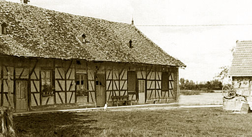
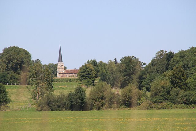
La Chapelle-Saint-Sauveur (La Chapelle-Saint-Sauveur)

- commune in Saône-et-Loire, France
- Country:

- Postal Code: 71310
- Coordinates: 46° 50' 37" N, 5° 16' 7" E


- GPS tracks (wikiloc): [Link]
- Area: 27.36 sq km
- Population: 676
- Wikipedia en: wiki(en)
- Wikipedia: wiki(fr)
- Wikidata storage: Wikidata: Q837623
- Wikipedia Commons Category: [Link]
- Wikipedia Commons Maps Category: [Link]
- Freebase ID: [/m/03qfz8r]
- Freebase ID: [/m/03qfz8r]
- GeoNames ID: Alt: [6457040]
- GeoNames ID: Alt: [6457040]
- SIREN number: [217100932]
- SIREN number: [217100932]
- BnF ID: [152730669]
- BnF ID: [152730669]
- INSEE municipality code: 71093
- INSEE municipality code: 71093
Shares border with regions:


Mervans
- commune in Saône-et-Loire, France
- Country:
- Postal Code: 71310
- Coordinates: 46° 47' 53" N, 5° 11' 12" E
- GPS tracks (wikiloc): [Link]
- Area: 28.78 sq km
- Population: 1484

Dampierre-en-Bresse
- commune in Saône-et-Loire, France
- Country:
- Postal Code: 71310
- Coordinates: 46° 49' 37" N, 5° 11' 55" E
- GPS tracks (wikiloc): [Link]
- Area: 11.09 sq km
- Population: 171


Authumes
- commune in Saône-et-Loire, France
- Country:
- Postal Code: 71270
- Coordinates: 46° 53' 23" N, 5° 18' 10" E
- GPS tracks (wikiloc): [Link]
- Area: 12.88 sq km
- Population: 255


La Chaux
- commune in Saône-et-Loire, France
- Country:
- Postal Code: 71310
- Coordinates: 46° 49' 41" N, 5° 15' 36" E
- GPS tracks (wikiloc): [Link]
- Area: 11 sq km
- Population: 307


Montjay
- commune in Saône-et-Loire, France
- Country:
- Postal Code: 71310
- Coordinates: 46° 48' 25" N, 5° 18' 36" E
- GPS tracks (wikiloc): [Link]
- Area: 11.03 sq km
- Population: 199


Pierre-de-Bresse
- commune in Saône-et-Loire, France
- Country:
- Postal Code: 71270
- Coordinates: 46° 53' 2" N, 5° 15' 44" E
- GPS tracks (wikiloc): [Link]
- AboveSeaLevel: 202 м m
- Area: 28.06 sq km
- Population: 1954
- Web site: [Link]


Saint-Bonnet-en-Bresse
- commune in Saône-et-Loire, France
- Country:
- Postal Code: 71310
- Coordinates: 46° 51' 14" N, 5° 10' 34" E
- GPS tracks (wikiloc): [Link]
- Area: 17.61 sq km
- Population: 472

Torpes
- commune in Saône-et-Loire, France
- Country:
- Postal Code: 71270
- Coordinates: 46° 50' 30" N, 5° 20' 18" E
- GPS tracks (wikiloc): [Link]
- Area: 15.7 sq km
- Population: 383