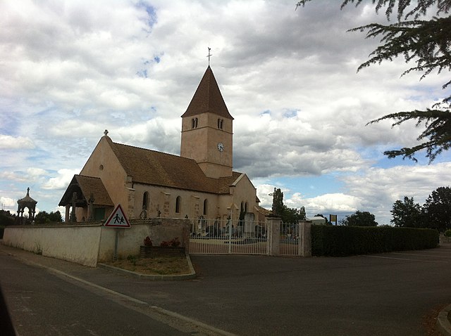
La Chapelle-Thècle (La Chapelle-Thècle)

- commune in Saône-et-Loire, France
- Country:

- Postal Code: 71470
- Coordinates: 46° 33' 22" N, 5° 6' 49" E


- GPS tracks (wikiloc): [Link]
- Area: 16.48 sq km
- Population: 443
- Web site: http://www.lachapellethecle.com
- Wikipedia en: wiki(en)
- Wikipedia: wiki(fr)
- Wikidata storage: Wikidata: Q972944
- Wikipedia Commons Category: [Link]
- Wikipedia Commons Maps Category: [Link]
- Freebase ID: [/m/03qfzbg]
- Freebase ID: [/m/03qfzbg]
- GeoNames ID: Alt: [6457044]
- GeoNames ID: Alt: [6457044]
- SIREN number: [217100973]
- SIREN number: [217100973]
- BnF ID: [15273070j]
- BnF ID: [15273070j]
- INSEE municipality code: 71097
- INSEE municipality code: 71097
Shares border with regions:


Ménetreuil
- commune in Saône-et-Loire, France
- Country:
- Postal Code: 71470
- Coordinates: 46° 34' 58" N, 5° 6' 44" E
- GPS tracks (wikiloc): [Link]
- Area: 15.04 sq km
- Population: 406
- Web site: [Link]


Jouvençon
- commune in Saône-et-Loire, France
- Country:
- Postal Code: 71290
- Coordinates: 46° 34' 27" N, 5° 3' 16" E
- GPS tracks (wikiloc): [Link]
- Area: 6.3 sq km
- Population: 420
- Web site: [Link]


Romenay
- commune in Saône-et-Loire, France
- Country:
- Postal Code: 71470
- Coordinates: 46° 30' 7" N, 5° 4' 9" E
- GPS tracks (wikiloc): [Link]
- AboveSeaLevel: 204 м m
- Area: 48.9 sq km
- Population: 1668
- Web site: [Link]

La Genête
- commune in Saône-et-Loire, France
- Country:
- Postal Code: 71290
- Coordinates: 46° 33' 5" N, 5° 2' 42" E
- GPS tracks (wikiloc): [Link]
- Area: 11.57 sq km
- Population: 564


Montpont-en-Bresse
- commune in Saône-et-Loire, France
- Country:
- Postal Code: 71470
- Coordinates: 46° 33' 26" N, 5° 9' 51" E
- GPS tracks (wikiloc): [Link]
- Area: 37.46 sq km
- Population: 1085
- Web site: [Link]