La Chapelle-du-Noyer (La Chapelle-du-Noyer)
- commune in Eure-et-Loir, France
- Country:

- Postal Code: 28200
- Coordinates: 48° 3' 27" N, 1° 18' 47" E


- GPS tracks (wikiloc): [Link]
- Area: 13.31 sq km
- Population: 1060
- Wikipedia en: wiki(en)
- Wikipedia: wiki(fr)
- Wikidata storage: Wikidata: Q1061417
- Wikipedia Commons Category: [Link]
- Freebase ID: [/m/03nqskd]
- GeoNames ID: Alt: [6456813]
- SIREN number: [212800759]
- BnF ID: [152540068]
- INSEE municipality code: 28075
Shares border with regions:


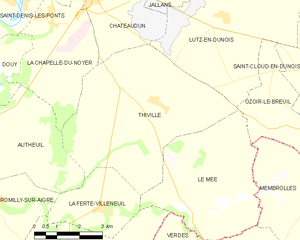
Thiville
- commune in Eure-et-Loir, France
- Country:

- Postal Code: 28200
- Coordinates: 48° 1' 31" N, 1° 22' 30" E


- GPS tracks (wikiloc): [Link]
- Area: 27.8 sq km
- Population: 347


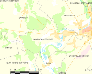
Saint-Denis-les-Ponts
- commune in Eure-et-Loir, France
- Country:

- Postal Code: 28200
- Coordinates: 48° 4' 3" N, 1° 17' 35" E


- GPS tracks (wikiloc): [Link]
- Area: 13.8 sq km
- Population: 1703
- Web site: [Link]
