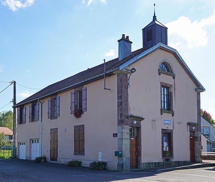
La Chapelle-lès-Luxeuil (La Chapelle-lès-Luxeuil)

- commune in Haute-Saône, France
- Country:

- Postal Code: 70300
- Coordinates: 47° 46' 16" N, 6° 22' 0" E


- GPS tracks (wikiloc): [Link]
- Area: 7.69 sq km
- Population: 389
- Wikipedia en: wiki(en)
- Wikipedia: wiki(fr)
- Wikidata storage: Wikidata: Q832534
- Wikipedia Commons Category: [Link]
- Freebase ID: [/m/03ntl2h]
- GeoNames ID: Alt: [6456353]
- SIREN number: [217001288]
- BnF ID: [15272522t]
- PACTOLS thesaurus ID: [pcrtFdNMoGFRwM]
- INSEE municipality code: 70128
Shares border with regions:


Ailloncourt
- commune in Haute-Saône, France
- Country:
- Postal Code: 70300
- Coordinates: 47° 45' 19" N, 6° 23' 18" E
- GPS tracks (wikiloc): [Link]
- Area: 9.29 sq km
- Population: 298


Brotte-lès-Luxeuil
- commune in Haute-Saône, France
- Country:
- Postal Code: 70300
- Coordinates: 47° 45' 24" N, 6° 20' 52" E
- GPS tracks (wikiloc): [Link]
- Area: 6.87 sq km
- Population: 208
- Web site: [Link]

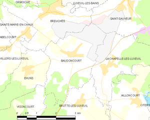
Baudoncourt
- commune in Haute-Saône, France
- Country:
- Postal Code: 70300
- Coordinates: 47° 46' 40" N, 6° 20' 43" E
- GPS tracks (wikiloc): [Link]
- Area: 7.57 sq km
- Population: 551

Esboz-Brest
- commune in Haute-Saône, France
- Country:
- Postal Code: 70300
- Coordinates: 47° 48' 22" N, 6° 27' 7" E
- GPS tracks (wikiloc): [Link]
- Area: 9.69 sq km
- Population: 443
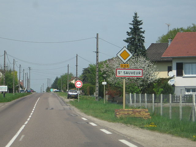

Saint-Sauveur
- commune in Haute-Saône, France
- Country:
- Postal Code: 70300
- Coordinates: 47° 48' 14" N, 6° 23' 5" E
- GPS tracks (wikiloc): [Link]
- Area: 12.02 sq km
- Population: 1917
- Web site: [Link]