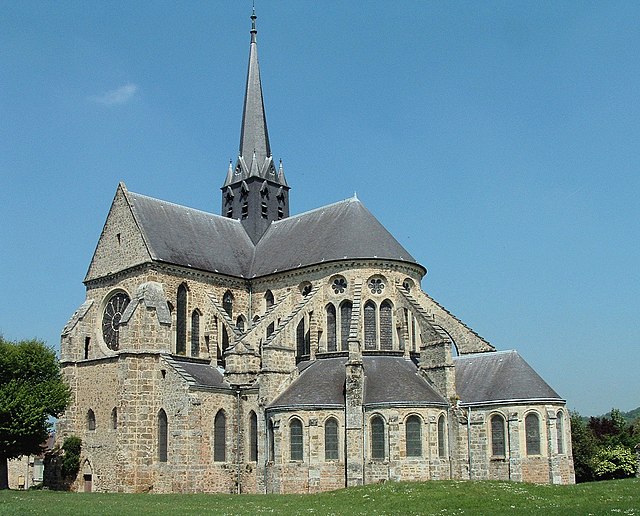
La Chapelle-sous-Orbais (La Chapelle-sous-Orbais)
- commune in Marne, France
- Country:

- Postal Code: 51270
- Coordinates: 48° 54' 35" N, 3° 43' 54" E


- GPS tracks (wikiloc): [Link]
- Area: 14.54 sq km
- Population: 54
- Wikipedia en: wiki(en)
- Wikipedia: wiki(fr)
- Wikidata storage: Wikidata: Q1159264
- Wikipedia Commons Category: [Link]
- Freebase ID: [/m/03qd4z9]
- GeoNames ID: Alt: [6456174]
- SIREN number: [215101197]
- BnF ID: [152627403]
- INSEE municipality code: 51128
Shares border with regions:


Corribert
- commune in Marne, France
- Country:

- Postal Code: 51270
- Coordinates: 48° 56' 35" N, 3° 46' 3" E


- GPS tracks (wikiloc): [Link]
- Area: 9.71 sq km
- Population: 57


Margny
- commune in Marne, France
- Country:

- Postal Code: 51210
- Coordinates: 48° 55' 50" N, 3° 38' 39" E


- GPS tracks (wikiloc): [Link]
- AboveSeaLevel: 199 м m
- Area: 10.53 sq km
- Population: 114


Orbais-l'Abbaye
- commune in Marne, France
- Country:

- Postal Code: 51270
- Coordinates: 48° 57' 0" N, 3° 41' 55" E


- GPS tracks (wikiloc): [Link]
- AboveSeaLevel: 149 м m
- Area: 16.03 sq km
- Population: 583
Janvilliers
- commune in Marne, France
- Country:

- Postal Code: 51210
- Coordinates: 48° 53' 39" N, 3° 38' 54" E


- GPS tracks (wikiloc): [Link]
- Area: 8.74 sq km
- Population: 169


Fromentières
- commune in Marne, France
- Country:

- Postal Code: 51210
- Coordinates: 48° 53' 20" N, 3° 42' 19" E


- GPS tracks (wikiloc): [Link]
- Area: 8.88 sq km
- Population: 380


La Caure
- commune in Marne, France
- Country:

- Postal Code: 51270
- Coordinates: 48° 54' 45" N, 3° 47' 25" E


- GPS tracks (wikiloc): [Link]
- Area: 8.55 sq km
- Population: 94


Champaubert
- commune in Marne, France
- Country:

- Postal Code: 51270
- Coordinates: 48° 52' 43" N, 3° 46' 33" E


- GPS tracks (wikiloc): [Link]
- Area: 12.75 sq km
- Population: 131


Suizy-le-Franc
- commune in Marne, France
- Country:

- Postal Code: 51270
- Coordinates: 48° 57' 8" N, 3° 44' 9" E


- GPS tracks (wikiloc): [Link]
- Area: 6.05 sq km
- Population: 108
