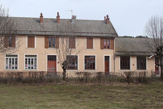
La Fare-en-Champsaur (La Fare-en-Champsaur)
- commune in Hautes-Alpes, France
 Hiking in La Fare-en-Champsaur
La Fare-en-Champsaur is a picturesque village located in the French Alps, within the Hautes-Alpes department of the Provence-Alpes-Côte d'Azur region. It is an excellent base for hiking enthusiasts, offering a variety of trails that cater to different skill levels and preferences.
Hiking Trails in La Fare-en-Champsaur
-
Champsaur Valley Trails: The surrounding Champsaur Valley features numerous hiking paths that allow you to explore beautiful landscapes, including lush forests, alpine meadows, and stunning mountain views. Many trails are well-marked and suitable for both beginners and experienced hikers.
-
La Montagne de Buissard: For a more challenging hike, consider the trail leading up to Montagne de Buissard. This hike rewards you with panoramic views of the mountains and valleys below.
-
Lake of Saint-Laurent: A popular destination for hikers is the hike to the Lake of Saint-Laurent. The path is moderately easy and perfect for families, leading to a serene lake where you can rest and enjoy a picnic amidst nature.
-
Cirque de Gioberney: This is a bit further afield but definitely worth it. The route takes you through stunning landscapes characterized by dramatic cliffs and waterfalls. It’s best suited for more experienced hikers.
-
Refuge de la Fare: For those looking for a multi-day hike, consider hiking to nearby mountain refuges like Refuge de la Fare, where you can stay overnight and explore even more trails.
Tips for Hiking in La Fare-en-Champsaur
- Seasonal Considerations: Summer is the most popular season for hiking, but be mindful of weather changes. Autumn offers stunning foliage, while spring may have lingering snow in higher altitudes.
- Gear Up: Make sure you have proper hiking gear, including sturdy boots, weather-appropriate clothing, and plenty of water and snacks.
- Wildlife and Nature: Keep an eye out for local wildlife, including chamois and various bird species. Respect the natural environment, and follow Leave No Trace principles.
- Navigation: Although many trails are marked, it’s always a good idea to carry a map or download trail apps to keep track of your route.
Local Attractions
- Cultural Heritage: Explore the charming village itself, with traditional buildings and local shops. Be sure to try regional delicacies and specialties.
- Accessibility: La Fare-en-Champsaur is accessible by car and public transport, making it a convenient base for exploring the surrounding natural wonders.
Hiking in La Fare-en-Champsaur provides an opportunity to immerse yourself in the serene beauty of the Alps while engaging in outdoor adventure. Whether you’re looking for a short walk or a challenging trek, you will find trails that suit your needs. Enjoy your time in this stunning destination!
- Country:

- Postal Code: 05500
- Coordinates: 44° 40' 32" N, 6° 4' 19" E


- GPS tracks (wikiloc): [Link]
- Area: 10.27 sq km
- Population: 453
- Wikipedia en: wiki(en)
- Wikipedia: wiki(fr)
- Wikidata storage: Wikidata: Q1087774
- Wikipedia Commons Category: [Link]
- Freebase ID: [/m/03mfl58]
- Freebase ID: [/m/03mfl58]
- GeoNames ID: Alt: [3009576]
- GeoNames ID: Alt: [3009576]
- SIREN number: [210500542]
- SIREN number: [210500542]
- INSEE municipality code: 05054
- INSEE municipality code: 05054
Shares border with regions:

Saint-Bonnet-en-Champsaur
- former commune in Hautes-Alpes, France
Hiking in Saint-Bonnet-en-Champsaur
Saint-Bonnet-en-Champsaur, located in the Hautes-Alpes region of southeastern France, is a picturesque area that offers a variety of hiking opportunities. The region is known for its stunning alpine scenery, including mountains, rivers, and lush forests, making it a fantastic destination for outdoor enthusiasts....
- Country:
- Postal Code: 05500
- Coordinates: 44° 40' 55" N, 6° 4' 35" E
- GPS tracks (wikiloc): [Link]
- AboveSeaLevel: 1040 м m
- Area: 15.01 sq km
- Population: 2047
- Web site: [Link]
Poligny
- commune in Hautes-Alpes, France
Hiking in Poligny
Poligny, situated in the Hautes-Alpes region of southeastern France, is a fantastic destination for hikers, offering stunning landscapes, diverse trails, and a variety of outdoor activities....
- Country:
- Postal Code: 05500
- Coordinates: 44° 41' 30" N, 6° 2' 50" E
- GPS tracks (wikiloc): [Link]
- Area: 13.81 sq km
- Population: 302

Gap
- commune in Hautes-Alpes, France
Hiking in Gap
Gap, located in the Hautes-Alpes region of southeastern France, is a wonderful destination for hiking enthusiasts. Surrounded by majestic mountains and alpine landscapes, it offers a variety of trails that cater to all levels of hikers, from beginners to experienced trekkers....
- Country:
- Postal Code: 05000
- Coordinates: 44° 33' 31" N, 6° 4' 40" E
- GPS tracks (wikiloc): [Link]
- Area: 110.43 sq km
- Population: 40776
- Web site: [Link]

Laye
- commune in Hautes-Alpes, France
Hiking in Laye
Laye, a charming commune in the Hautes-Alpes region of southeastern France, offers beautiful landscapes and a variety of hiking opportunities. Nestled in the French Alps, it boasts stunning mountain views, lush valleys, and diverse wildlife. Here are some key points to consider if you’re planning a hiking adventure in Laye:...
- Country:
- Postal Code: 05500
- Coordinates: 44° 39' 40" N, 6° 5' 3" E
- GPS tracks (wikiloc): [Link]
- Area: 10.55 sq km
- Population: 234