La Ferrière (La Ferrière)
- commune in Isère, France
La Ferrière, located in the Isère department in France, is a charming village nestled in the French Alps. It offers a variety of hiking opportunities for both beginners and experienced hikers. The region is known for its stunning landscapes, featuring picturesque valleys, rugged mountain terrain, and lush forests.
Hiking Trails:
-
Les Vouilland - La Ferrière Loop: This is a popular moderate hike that takes you through beautiful alpine scenery. The loop offers a combination of forest paths and mountain trails, providing breathtaking views of the surrounding peaks.
-
Col de la Sitre: For more experienced hikers, this trail leads to the Col de la Sitre. The hike offers a rewarding ascent with panoramic views. It's advisable to check the trail conditions as some sections can be steep.
-
Sector of the Belledonne Massif: La Ferrière serves as a gateway to the Belledonne Massif, where numerous trails can be explored. You can choose various routes that range from short day hikes to multi-day trekking experiences.
Preparation:
- Gear: Ensure you have appropriate hiking gear, including sturdy boots, weather-appropriate clothing, and safety equipment.
- Navigation: Use a trail map or GPS device, as some paths can be challenging to follow.
- Weather Considerations: The weather in the mountains can change rapidly, so it’s crucial to check the forecast and be prepared for unexpected conditions.
- Hydration and Food: Carry enough water and snacks, especially for longer hikes.
Local Attractions:
After your hike, you can enjoy local cuisine in La Ferrière, which reflects the rich culinary traditions of the region. The village itself exudes a quaint charm, and you might also explore nearby attractions, such as the natural parks or historical sites.
Conclusion:
Hiking in La Ferrière is sure to provide an unforgettable experience with its stunning views and diverse trails. Whether you're seeking a peaceful walk through the forest or a challenging climb in the Alps, this area has plenty to offer. Enjoy your adventure and be sure to take in the breathtaking alpine scenery!
- Country:

- Postal Code: 38580
- Coordinates: 45° 19' 11" N, 6° 5' 14" E


- GPS tracks (wikiloc): [Link]
- Area: 54.33 sq km
- Population: 231
- Web site: http://www.la-ferriere.fr
- Wikipedia en: wiki(en)
- Wikipedia: wiki(fr)
- Wikidata storage: Wikidata: Q1106867
- Wikipedia Commons Category: [Link]
- Freebase ID: [/m/03nvjtf]
- GeoNames ID: Alt: [6455933]
- SIREN number: [213801632]
- VIAF ID: Alt: [130515507]
- Library of Congress authority ID: Alt: [no2001027621]
- INSEE municipality code: 38163
Shares border with regions:
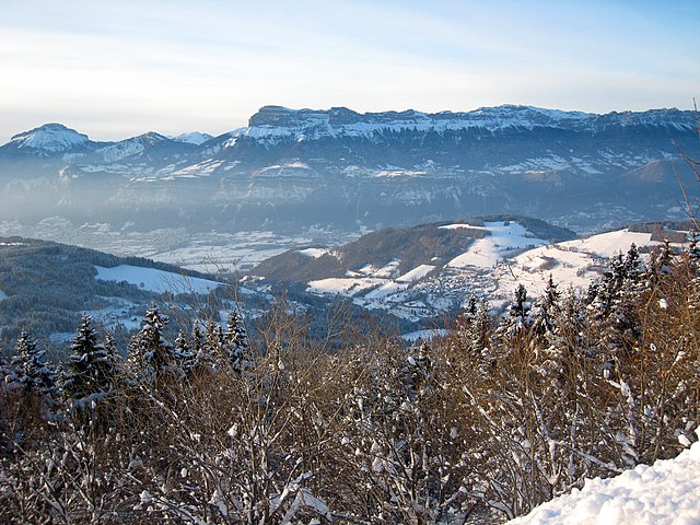

Les Adrets
- commune in Isère, France
Les Adrets, located in the Var department in the Provence-Alpes-Côte d'Azur region of France, offers beautiful hiking opportunities that showcase the stunning landscapes of the French Riviera and Provençal countryside. Here are some key points about hiking in this area:...
- Country:

- Postal Code: 38190
- Coordinates: 45° 16' 18" N, 5° 57' 52" E


- GPS tracks (wikiloc): [Link]
- Area: 16.15 sq km
- Population: 1004
- Web site: [Link]
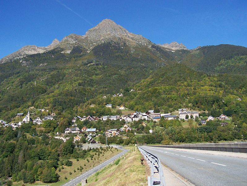

Allemond
- commune in Isère, France
Allemont is a picturesque village located in the French Alps, specifically in the Isère department. It serves as a gateway to the Vaujany valley and nearby hiking routes in the Oisans region, making it a great base for outdoor enthusiasts. Here are some highlights and considerations for hiking in and around Allemont:...
- Country:

- Postal Code: 38114
- Coordinates: 45° 7' 49" N, 6° 2' 15" E


- GPS tracks (wikiloc): [Link]
- Area: 44.75 sq km
- Population: 1006
- Web site: [Link]

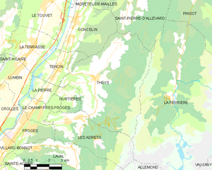
Theys
- commune in Isère, France
Theys is a charming commune in the French Alps, situated in the Isère department. It's a fantastic location for hiking enthusiasts, offering a variety of trails that cater to different skill levels. Here are some key points about hiking in Theys:...
- Country:

- Postal Code: 38570
- Coordinates: 45° 18' 1" N, 5° 59' 49" E


- GPS tracks (wikiloc): [Link]
- Area: 35.77 sq km
- Population: 1943
- Web site: [Link]


Pinsot
- commune in Isère, France
Pinsot is a charming village located in the Isère department in the Auvergne-Rhône-Alpes region of France. This area offers stunning natural landscapes, making it a delightful destination for hiking enthusiasts. Here are some key points to consider if you’re thinking about hiking in Pinsot:...
- Country:

- Postal Code: 38580
- Coordinates: 45° 21' 25" N, 6° 6' 0" E


- GPS tracks (wikiloc): [Link]
- Area: 24.27 sq km
- Population: 178
- Web site: [Link]

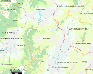
Vaujany
- commune in Isère, France
Vaujany is a charming alpine village located in the French Alps, within the Oisans region, and is part of the larger Alpe d'Huez Grand Domaine Ski area. It's not only a great skiing destination but also an excellent location for hiking, especially during the warmer months when the snow melts and the trails become accessible....
- Country:

- Postal Code: 38114
- Coordinates: 45° 9' 27" N, 6° 4' 36" E


- GPS tracks (wikiloc): [Link]
- Area: 64.54 sq km
- Population: 307
- Web site: [Link]

Laval
- commune in Isère, France
Laval, located in the Isère department of the Auvergne-Rhône-Alpes region in France, is surrounded by stunning natural landscapes that provide excellent hiking opportunities. Here are some key points about hiking in and around Laval, Isère:...
- Country:

- Postal Code: 38190
- Coordinates: 45° 15' 11" N, 5° 55' 57" E


- GPS tracks (wikiloc): [Link]
- Area: 25.33 sq km
- Population: 988
- Web site: [Link]


Saint-Colomban-des-Villards
- commune in Savoie, France
 Hiking in Saint-Colomban-des-Villards
Saint-Colomban-des-Villards is a charming commune in the Savoie region of the French Alps, known for its stunning landscapes and diverse hiking opportunities. The area offers a mix of trails that cater to different skill levels, from leisurely walks to challenging hikes....
- Country:

- Postal Code: 73130
- Coordinates: 45° 17' 39" N, 6° 13' 36" E


- GPS tracks (wikiloc): [Link]
- AboveSeaLevel: 1204 м m
- Area: 81.12 sq km
- Population: 173
