La Rivière-Enverse (La Rivière-Enverse)

- commune in Haute-Savoie, France
 Hiking in La Rivière-Enverse
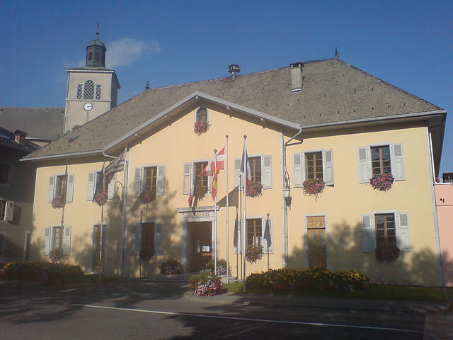
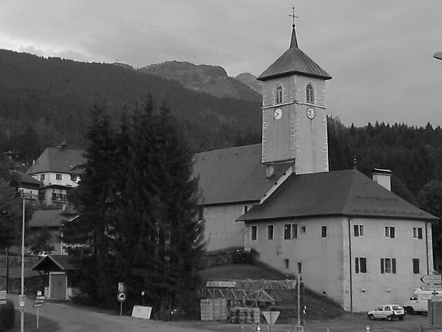
La Rivière-Enverse is a picturesque village located in the Haute-Savoie region of France, offering stunning scenery and a range of hiking opportunities. Nestled in the French Alps, this area boasts a mix of lush valleys, dramatic peaks, and tranquil rivers. Here’s what you need to know about hiking in and around La Rivière-Enverse:
Hiking Trails
-
Variety of Trails: The region features a variety of trails suited for different skill levels, from easy walks suitable for families to more challenging hikes for experienced adventurers. Check local maps for detailed routes.
-
Scenic Views: Many trails offer breathtaking views of the Mont Blanc massif and the surrounding mountain ranges. Look for viewpoints that provide great photo opportunities.
-
Nature and Wildlife: As you hike, you'll likely encounter diverse flora and fauna. Keep an eye out for local wildlife, including chamois and various bird species.
-
Waterfalls and Rivers: Some trails will lead you alongside the local rivers and past beautiful waterfalls, providing a refreshing break during your hike.
Hiking Essentials
-
Gear: Wear proper hiking boots, and consider bringing trekking poles, especially for more challenging trails. Dress in layers to adapt to changing temperatures.
-
Maps and Guides: It's helpful to carry a map of the area or download a hiking app, as trails can sometimes be less marked. Local tourist offices may provide hiking guides and current trail conditions.
-
Stay Hydrated: Bring plenty of water, as some trails may not have accessible water sources. Pack snacks for energy, especially if you plan on hiking for several hours.
Best Time to Hike
- Summer (June to September): The best time for hiking, with milder weather and clear trails. Note that some higher-altitude trails may still have snow in early summer.
- Autumn (September to October): Offers beautiful fall foliage and slightly cooler temperatures, making for pleasant hiking conditions.
Local Regulations and Safety
- Environmental Awareness: Stay on marked trails to minimize your impact on the environment.
- Weather Conditions: Always check the weather before heading out, and be prepared for sudden changes in alpine weather.
- Wildlife Precautions: Respect local wildlife and maintain a safe distance if you encounter animals.
Additional Activities
Besides hiking, the region also offers mountain biking, paragliding, and sightseeing opportunities, including exploring local villages and tasting traditional Savoyard cuisine.
Hiking in La Rivière-Enverse can be a wonderful experience. Whether you're looking for a day hike or a multi-day trekking adventure, the majestic scenery and serene atmosphere are sure to create lasting memories.
- Country:

- Postal Code: 74440
- Coordinates: 46° 5' 34" N, 6° 38' 11" E


- GPS tracks (wikiloc): [Link]
- Area: 7.98 sq km
- Population: 457
- Wikipedia en: wiki(en)
- Wikipedia: wiki(fr)
- Wikidata storage: Wikidata: Q629239
- Wikipedia Commons Category: [Link]
- Freebase ID: [/m/03nt_1z]
- GeoNames ID: Alt: [6456426]
- SIREN number: [217402239]
- BnF ID: [152744790]
- INSEE municipality code: 74223
Shares border with regions:

Taninges
- commune in Haute-Savoie, France
Hiking in Taninges
Taninges, located in the Haute-Savoie region of the French Alps, is an excellent destination for hiking enthusiasts. The area is known for its breathtaking landscapes, including majestic mountains, lush valleys, and beautiful alpine meadows. Here are some highlights and tips for hiking in and around Taninges:...
- Country:
- Postal Code: 74440
- Coordinates: 46° 6' 27" N, 6° 35' 29" E
- GPS tracks (wikiloc): [Link]
- Area: 42.66 sq km
- Population: 3410

Arâches-la-Frasse
- commune in Haute-Savoie, France
Hiking in Arâches-la-Frasse
Arâches-la-Frasse is a charming commune located in the Haute-Savoie region of the French Alps. It is known for its stunning landscapes and proximity to the Grand Massif ski area, which also offers numerous hiking opportunities during the warmer months....
- Country:
- Postal Code: 74300
- Coordinates: 46° 2' 36" N, 6° 37' 53" E
- GPS tracks (wikiloc): [Link]
- Area: 37.69 sq km
- Population: 1928


Verchaix
- commune in Haute-Savoie, France
Hiking in Verchaix
Verchaix is a beautiful destination located in the French Alps, in the Haute-Savoie region. This picturesque village offers a range of hiking opportunities, making it an excellent choice for both casual hikers and experienced trekkers....
- Country:
- Postal Code: 74440
- Coordinates: 46° 5' 47" N, 6° 40' 35" E
- GPS tracks (wikiloc): [Link]
- Area: 15.89 sq km
- Population: 715


Châtillon-sur-Cluses
- commune in Haute-Savoie, France
Hiking in Châtillon-sur-Cluses
Châtillon-sur-Cluses is a picturesque village in the Haute-Savoie region of France, nestled in the Alps. It provides a beautiful backdrop for hiking enthusiasts, offering a variety of trails that cater to different levels of experience. Here are some details about hiking in and around Châtillon-sur-Cluses:...
- Country:
- Postal Code: 74300
- Coordinates: 46° 5' 14" N, 6° 34' 57" E
- GPS tracks (wikiloc): [Link]
- Area: 9.18 sq km
- Population: 1258


Saint-Sigismond
- commune in Haute-Savoie, France
Hiking in Saint-Sigismond
Saint-Sigismond, located in the Haute-Savoie region of the French Alps, offers a delightful experience for hikers and nature enthusiasts. This area is characterized by its stunning mountainous landscapes, lush greenery, and a variety of trails suitable for different skill levels. Here are some key points about hiking in Saint-Sigismond:...
- Country:
- Postal Code: 74300
- Coordinates: 46° 4' 20" N, 6° 36' 52" E
- GPS tracks (wikiloc): [Link]
- Area: 7.92 sq km
- Population: 595
- Web site: [Link]


Morillon
- commune in Haute-Savoie, France
Hiking in Morillon
Morillon, a charming village in the French Alps, is part of the larger Grand Massif ski area, which is known not only for skiing but also for a variety of outdoor activities in the warmer months, including hiking. Here are some key points about hiking in Morillon:...
- Country:
- Postal Code: 74440
- Coordinates: 46° 5' 2" N, 6° 40' 32" E
- GPS tracks (wikiloc): [Link]
- Area: 14.51 sq km
- Population: 632
- Web site: [Link]