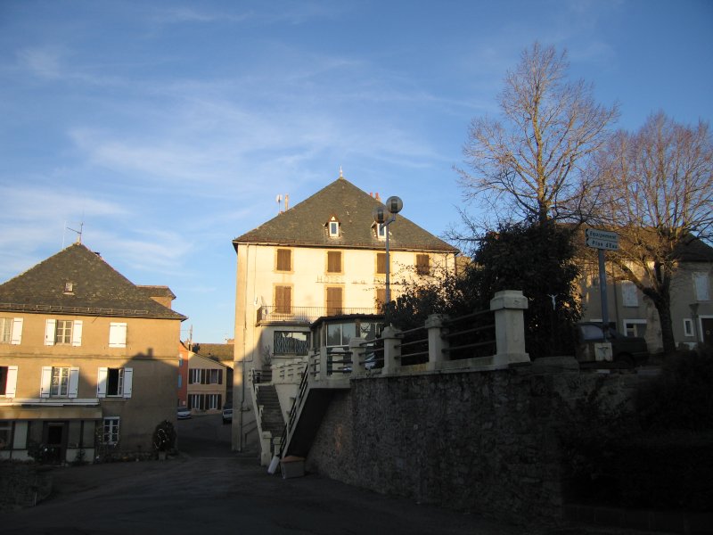
La Salvetat-Peyralès (La Salvetat-Peyralès)

- commune in Aveyron, France
- Country:

- Postal Code: 12440
- Coordinates: 44° 13' 12" N, 2° 12' 11" E


- GPS tracks (wikiloc): [Link]
- Area: 54.24 sq km
- Population: 976
- Wikipedia en: wiki(en)
- Wikipedia: wiki(fr)
- Wikidata storage: Wikidata: Q1141681
- Wikipedia Commons Category: [Link]
- Freebase ID: [/m/03m95vf]
- GeoNames ID: Alt: [6455539]
- SIREN number: [211202585]
- BnF ID: [15247234k]
- VIAF ID: Alt: [157276445]
- Library of Congress authority ID: Alt: [n97032571]
- PACTOLS thesaurus ID: [pcrtjZzez3r1LP]
- INSEE municipality code: 12258
Shares border with regions:

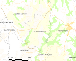
La Capelle-Bleys
- commune in Aveyron, France
- Country:
- Postal Code: 12240
- Coordinates: 44° 17' 41" N, 2° 10' 58" E
- GPS tracks (wikiloc): [Link]
- Area: 15.63 sq km
- Population: 378
- Web site: [Link]

Rieupeyroux
- commune in Aveyron, France
- Country:
- Postal Code: 12240
- Coordinates: 44° 18' 28" N, 2° 14' 11" E
- GPS tracks (wikiloc): [Link]
- Area: 54.81 sq km
- Population: 1990
- Web site: [Link]

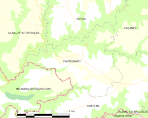
Castelmary
- commune in Aveyron, France
- Country:
- Postal Code: 12800
- Coordinates: 44° 10' 11" N, 2° 15' 9" E
- GPS tracks (wikiloc): [Link]
- Area: 11.81 sq km
- Population: 120


Lescure-Jaoul
- commune in Aveyron, France
- Country:
- Postal Code: 12440
- Coordinates: 44° 13' 51" N, 2° 8' 46" E
- GPS tracks (wikiloc): [Link]
- Area: 18.52 sq km
- Population: 237


Tayrac
- commune in Aveyron, France
- Country:
- Postal Code: 12440
- Coordinates: 44° 12' 8" N, 2° 14' 1" E
- GPS tracks (wikiloc): [Link]
- Area: 15.73 sq km
- Population: 164


Jouqueviel
- commune in Tarn, France
- Country:
- Postal Code: 81190
- Coordinates: 44° 11' 6" N, 2° 8' 17" E
- GPS tracks (wikiloc): [Link]
- Area: 12.15 sq km
- Population: 98
- Web site: [Link]


Mirandol-Bourgnounac
- commune in Tarn, France
- Country:
- Postal Code: 81190
- Coordinates: 44° 8' 32" N, 2° 9' 59" E
- GPS tracks (wikiloc): [Link]
- Area: 38.19 sq km
- Population: 1043
- Web site: [Link]


Pradinas
- commune in Aveyron, France
- Country:
- Postal Code: 12240
- Coordinates: 44° 14' 23" N, 2° 15' 50" E
- GPS tracks (wikiloc): [Link]
- Area: 22.68 sq km
- Population: 365