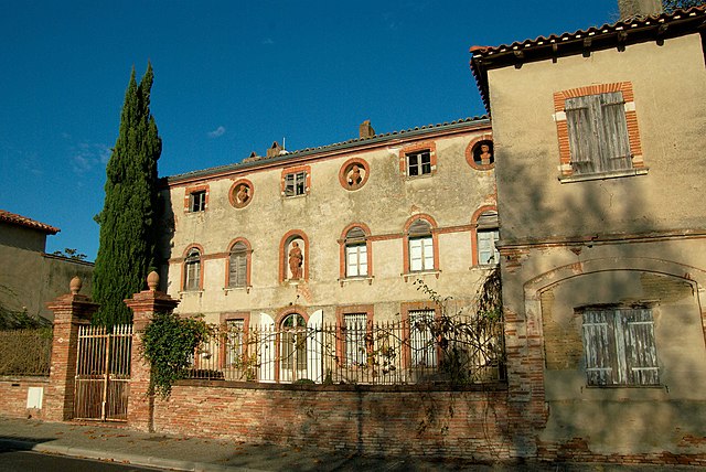
Labège (Labège)
- commune in Haute-Garonne, France
- Country:

- Postal Code: 31670
- Coordinates: 43° 31' 45" N, 1° 31' 48" E


- GPS tracks (wikiloc): [Link]
- Area: 7.65 sq km
- Population: 4277
- Web site: http://www.ville-labege.fr
- Wikipedia en: wiki(en)
- Wikipedia: wiki(fr)
- Wikidata storage: Wikidata: Q1467149
- Wikipedia Commons Category: [Link]
- Freebase ID: [/m/03nq3nz]
- Freebase ID: [/m/03nq3nz]
- GeoNames ID: Alt: [6431618]
- GeoNames ID: Alt: [6431618]
- SIREN number: [213102544]
- SIREN number: [213102544]
- BnF ID: [15255250j]
- BnF ID: [15255250j]
- PACTOLS thesaurus ID: [pcrtyXmym7iZiz]
- PACTOLS thesaurus ID: [pcrtyXmym7iZiz]
- TGN ID: [4006015]
- TGN ID: [4006015]
- INSEE municipality code: 31254
- INSEE municipality code: 31254
Shares border with regions:


Castanet-Tolosan
- commune in Haute-Garonne, France
- Country:

- Postal Code: 31320
- Coordinates: 43° 30' 56" N, 1° 29' 53" E


- GPS tracks (wikiloc): [Link]
- Area: 8.22 sq km
- Population: 12833
- Web site: [Link]


Escalquens
- commune in Haute-Garonne, France
- Country:

- Postal Code: 31750
- Coordinates: 43° 31' 4" N, 1° 33' 39" E


- GPS tracks (wikiloc): [Link]
- Area: 8.42 sq km
- Population: 6415
- Web site: [Link]

Saint-Orens-de-Gameville
- commune in Haute-Garonne, France
- Country:

- Postal Code: 31650
- Coordinates: 43° 33' 5" N, 1° 32' 3" E


- GPS tracks (wikiloc): [Link]
- Area: 13.06 sq km
- Population: 11631
- Web site: [Link]


Ramonville-Saint-Agne
- commune in Haute-Garonne, France
- Country:

- Postal Code: 31520
- Coordinates: 43° 32' 46" N, 1° 28' 32" E


- GPS tracks (wikiloc): [Link]
- Area: 6.46 sq km
- Population: 13829
- Web site: [Link]


Auzeville-Tolosane
- commune in Haute-Garonne, France
- Country:

- Postal Code: 31320
- Coordinates: 43° 31' 38" N, 1° 28' 54" E


- GPS tracks (wikiloc): [Link]
- Area: 6.66 sq km
- Population: 4162
- Web site: [Link]


Toulouse
- commune in Haute-Garonne, France
- Country:

- Postal Code: 31500; 31400; 31300; 31200; 31100; 31000
- Coordinates: 43° 36' 16" N, 1° 26' 38" E


- GPS tracks (wikiloc): [Link]
- AboveSeaLevel: 141 м m
- Area: 118.3 sq km
- Population: 471941
- Web site: [Link]
