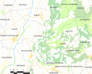
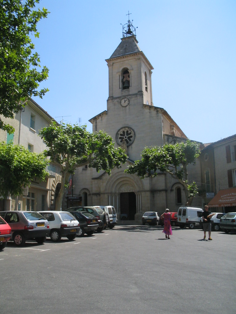
Lafare (Lafare)
- commune in Vaucluse, France
It seems there might be a slight mix-up regarding the location you referred to as "Lafare." If you're referring to a specific place, it may not be widely recognized. However, if you are referring to a more popular hiking destination or a slight variation in the name (like “Lafayette” or “La Fer”?), please clarify.
If you're looking for general hiking information, here’s what you should keep in mind for hiking in any area:
-
Research Trails: Look for trail maps and information on difficulty levels. Websites like AllTrails can provide user-generated content, including reviews and photos.
-
Prepare for Weather: Check the weather forecast before heading out. Mountain weather can change quickly, so be prepared for the unexpected.
-
Safety Gear: Always wear appropriate footwear and carry a first aid kit, enough water, snacks, and a map or GPS device.
-
Know Your Limits: Choose trails that match your fitness level, and don't hesitate to turn back if conditions worsen or you feel unwell.
-
Leave No Trace: Respect the environment by staying on marked trails, packing out what you bring in, and minimizing your impact.
If you meant a specific location, just let me know, and I can provide more tailored information!
- Country:

- Postal Code: 84190
- Coordinates: 44° 8' 50" N, 5° 3' 5" E


- GPS tracks (wikiloc): [Link]
- Area: 4.54 sq km
- Population: 126
- Wikipedia en: wiki(en)
- Wikipedia: wiki(fr)
- Wikidata storage: Wikidata: Q134197
- Wikipedia Commons Category: [Link]
- Freebase ID: [/m/02vmphd]
- GeoNames ID: Alt: [3009577]
- SIREN number: [218400596]
- BnF ID: [15278039m]
- INSEE municipality code: 84059
Shares border with regions:


Suzette
- commune in Vaucluse, France
Suzette, located in the Vaucluse department of France, is a charming village nestled at the foot of the Dentelles de Montmirail mountain range. The area is known for its stunning landscapes, vineyards, and diverse hiking trails suitable for different skill levels....
- Country:

- Postal Code: 84190
- Coordinates: 44° 10' 5" N, 5° 4' 6" E


- GPS tracks (wikiloc): [Link]
- Area: 6.75 sq km
- Population: 126


Gigondas
- commune in Vaucluse, France
Gigondas is a charming village located in the Vaucluse department of the Provence-Alpes-Côte d'Azur region in southeastern France. Known primarily for its rich vineyards and stunning landscapes, Gigondas offers excellent opportunities for hiking enthusiasts. Here are some key points to consider when hiking in and around Gigondas:...
- Country:

- Postal Code: 84190
- Coordinates: 44° 9' 50" N, 5° 0' 17" E


- GPS tracks (wikiloc): [Link]
- Area: 27.14 sq km
- Population: 532
- Web site: [Link]


Beaumes-de-Venise
- commune in Vaucluse, France
Beaumes-de-Venise is a picturesque village located in the Vaucluse department of the Provence-Alpes-Côte d'Azur region in France. The area is well-known for its stunning landscapes, vineyards, and proximity to the Dentelles de Montmirail mountain range, making it a great destination for hiking enthusiasts. Here are some key highlights about hiking in this region:...
- Country:

- Postal Code: 84190
- Coordinates: 44° 7' 22" N, 5° 1' 50" E


- GPS tracks (wikiloc): [Link]
- Area: 18.89 sq km
- Population: 2387
- Web site: [Link]


La Roque-Alric
- commune in Vaucluse, France
La Roque-Alric is a charming village located in the Vaucluse department in the Provence-Alpes-Côte d'Azur region of France. It's set against a backdrop of stunning cliffs and vineyards, making it a scenic destination for hiking enthusiasts. Here are some points to consider if you’re planning to hike in and around La Roque-Alric:...
- Country:

- Postal Code: 84190
- Coordinates: 44° 8' 35" N, 5° 3' 51" E


- GPS tracks (wikiloc): [Link]
- Area: 4.87 sq km
- Population: 51

