Landes-le-Gaulois (Landes-le-Gaulois)

- commune in Loir-et-Cher, France
- Country:

- Postal Code: 41190
- Coordinates: 47° 39' 10" N, 1° 10' 59" E


- GPS tracks (wikiloc): [Link]
- Area: 24.15 sq km
- Population: 739
- Web site: http://www.landes-le-gaulois.com
- Wikipedia en: wiki(en)
- Wikipedia: wiki(fr)
- Wikidata storage: Wikidata: Q1170015
- Wikipedia Commons Category: [Link]
- Freebase ID: [/m/03nw09l]
- GeoNames ID: Alt: [3007861]
- SIREN number: [214101099]
- BnF ID: [15259385f]
- PACTOLS thesaurus ID: [pcrtWYV6LjYQET]
- WOEID: [12646941]
- INSEE municipality code: 41109
Shares border with regions:


Françay
- commune in Loir-et-Cher, France
- Country:
- Postal Code: 41190
- Coordinates: 47° 37' 4" N, 1° 7' 33" E
- GPS tracks (wikiloc): [Link]
- Area: 20.31 sq km
- Population: 281
Herbault
- commune in Loir-et-Cher, France
- Country:
- Postal Code: 41190
- Coordinates: 47° 36' 17" N, 1° 8' 19" E
- GPS tracks (wikiloc): [Link]
- Area: 13.01 sq km
- Population: 1247

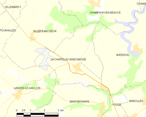
La Chapelle-Vendômoise
- commune in Loir-et-Cher, France
- Country:
- Postal Code: 41330
- Coordinates: 47° 40' 15" N, 1° 14' 21" E
- GPS tracks (wikiloc): [Link]
- Area: 13.07 sq km
- Population: 744


Villefrancœur
- commune in Loir-et-Cher, France
- Country:
- Postal Code: 41330
- Coordinates: 47° 41' 37" N, 1° 13' 9" E
- GPS tracks (wikiloc): [Link]
- Area: 18.08 sq km
- Population: 425
- Web site: [Link]
Saint-Lubin-en-Vergonnois
- commune in Loir-et-Cher, France
- Country:
- Postal Code: 41190
- Coordinates: 47° 36' 47" N, 1° 14' 16" E
- GPS tracks (wikiloc): [Link]
- Area: 17.06 sq km
- Population: 719

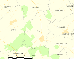
Pray
- commune in Loir-et-Cher, France
- Country:
- Postal Code: 41190
- Coordinates: 47° 40' 34" N, 1° 7' 1" E
- GPS tracks (wikiloc): [Link]
- Area: 10.48 sq km
- Population: 297


Lancôme
- commune in Loir-et-Cher, France
- Country:
- Postal Code: 41190
- Coordinates: 47° 38' 56" N, 1° 7' 24" E
- GPS tracks (wikiloc): [Link]
- Area: 9.89 sq km
- Population: 124


Saint-Bohaire
- commune in Loir-et-Cher, France
- Country:
- Postal Code: 41330
- Coordinates: 47° 38' 40" N, 1° 15' 48" E
- GPS tracks (wikiloc): [Link]
- Area: 14.06 sq km
- Population: 488


Tourailles
- commune in Loir-et-Cher, France
- Country:
- Postal Code: 41190
- Coordinates: 47° 41' 6" N, 1° 9' 31" E
- GPS tracks (wikiloc): [Link]
- Area: 7.46 sq km
- Population: 133