Lautignac (Lautignac)

- commune in Haute-Garonne, France
- Country:

- Postal Code: 31370
- Coordinates: 43° 22' 54" N, 1° 3' 27" E


- GPS tracks (wikiloc): [Link]
- Area: 17.77 sq km
- Population: 271
- Wikipedia en: wiki(en)
- Wikipedia: wiki(fr)
- Wikidata storage: Wikidata: Q1361284
- Wikipedia Commons Category: [Link]
- Freebase ID: [/m/03ns_93]
- Freebase ID: [/m/03ns_93]
- GeoNames ID: Alt: [3005945]
- GeoNames ID: Alt: [3005945]
- SIREN number: [213102833]
- SIREN number: [213102833]
- BnF ID: [15255278x]
- BnF ID: [15255278x]
- PACTOLS thesaurus ID: [pcrtcOv7zuRKkl]
- PACTOLS thesaurus ID: [pcrtcOv7zuRKkl]
- INSEE municipality code: 31283
- INSEE municipality code: 31283
Shares border with regions:
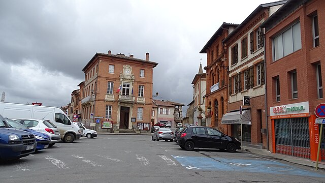

Rieumes
- commune in Haute-Garonne, France
- Country:
- Postal Code: 31370
- Coordinates: 43° 24' 45" N, 1° 7' 4" E
- GPS tracks (wikiloc): [Link]
- Area: 30.9 sq km
- Population: 3515
- Web site: [Link]


Savères
- commune in Haute-Garonne, France
- Country:
- Postal Code: 31370
- Coordinates: 43° 22' 14" N, 1° 6' 14" E
- GPS tracks (wikiloc): [Link]
- Area: 10.71 sq km
- Population: 209
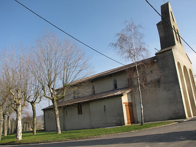
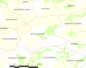
Pouy-de-Touges
- commune in Haute-Garonne, France
- Country:
- Postal Code: 31430
- Coordinates: 43° 20' 29" N, 1° 2' 14" E
- GPS tracks (wikiloc): [Link]
- Area: 13.79 sq km
- Population: 398
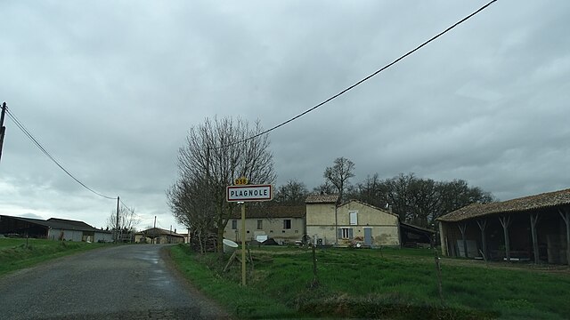
Plagnole
- commune in Haute-Garonne, France
- Country:
- Postal Code: 31370
- Coordinates: 43° 24' 49" N, 1° 3' 22" E
- GPS tracks (wikiloc): [Link]
- Area: 7.24 sq km
- Population: 307


Sajas
- commune in Haute-Garonne, France
- Country:
- Postal Code: 31370
- Coordinates: 43° 22' 35" N, 1° 1' 14" E
- GPS tracks (wikiloc): [Link]
- Area: 5 sq km
- Population: 118


Labastide-Clermont
- commune in Haute-Garonne, France
- Country:
- Postal Code: 31370
- Coordinates: 43° 20' 55" N, 1° 7' 16" E
- GPS tracks (wikiloc): [Link]
- Area: 14.58 sq km
- Population: 668
- Web site: [Link]
Montastruc-Savès
- commune in Haute-Garonne, France
- Country:
- Postal Code: 31370
- Coordinates: 43° 21' 39" N, 1° 1' 17" E
- GPS tracks (wikiloc): [Link]
- Area: 5.75 sq km
- Population: 75
Le Pin-Murelet
- commune in Haute-Garonne, France
- Country:
- Postal Code: 31370
- Coordinates: 43° 24' 4" N, 1° 1' 4" E
- GPS tracks (wikiloc): [Link]
- Area: 12.04 sq km
- Population: 169