Le Bastit (Le Bastit)

- commune in Lot, France
- Country:

- Postal Code: 46500
- Coordinates: 44° 43' 22" N, 1° 39' 55" E


- GPS tracks (wikiloc): [Link]
- Area: 28.25 sq km
- Population: 166
- Wikipedia en: wiki(en)
- Wikipedia: wiki(fr)
- Wikidata storage: Wikidata: Q761884
- Wikipedia Commons Category: [Link]
- Freebase ID: [/m/03nwjz4]
- GeoNames ID: Alt: [6456928]
- SIREN number: [214600181]
- BnF ID: [152607591]
- INSEE municipality code: 46018
Shares border with regions:


Lunegarde
- commune in Lot, France
- Country:
- Postal Code: 46240
- Coordinates: 44° 41' 26" N, 1° 41' 18" E
- GPS tracks (wikiloc): [Link]
- Area: 10.43 sq km
- Population: 99

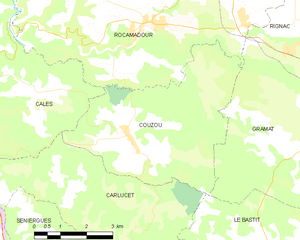
Couzou
- commune in Lot, France
- Country:
- Postal Code: 46500
- Coordinates: 44° 45' 57" N, 1° 36' 59" E
- GPS tracks (wikiloc): [Link]
- Area: 21.72 sq km
- Population: 97


Fontanes-du-Causse
- former commune in Lot, France
- Country:
- Postal Code: 46240
- Coordinates: 44° 39' 58" N, 1° 39' 39" E
- GPS tracks (wikiloc): [Link]
- Area: 15.01 sq km
- Population: 69

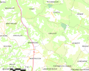
Carlucet
- commune in Lot, France
- Country:
- Postal Code: 46500
- Coordinates: 44° 43' 17" N, 1° 36' 45" E
- GPS tracks (wikiloc): [Link]
- Area: 33.7 sq km
- Population: 223
- Web site: [Link]


Reilhac
- commune in Lot, France
- Country:
- Postal Code: 46500
- Coordinates: 44° 42' 1" N, 1° 43' 9" E
- GPS tracks (wikiloc): [Link]
- Area: 12.98 sq km
- Population: 180

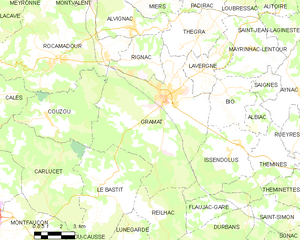
Gramat
- commune in Lot, France
- Country:
- Postal Code: 46500
- Coordinates: 44° 46' 44" N, 1° 43' 30" E
- GPS tracks (wikiloc): [Link]
- Area: 57.07 sq km
- Population: 3649
- Web site: [Link]

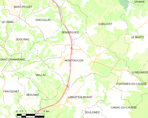
Montfaucon
- commune in Lot, France
- Country:
- Postal Code: 46240
- Coordinates: 44° 41' 16" N, 1° 33' 41" E
- GPS tracks (wikiloc): [Link]
- Area: 26.18 sq km
- Population: 594