Le Boullay-Mivoye (Le Boullay-Mivoye)

- commune in Eure-et-Loir, France
- Country:

- Postal Code: 28210
- Coordinates: 48° 38' 52" N, 1° 24' 24" E


- GPS tracks (wikiloc): [Link]
- Area: 10.92 sq km
- Population: 470
- Wikipedia en: wiki(en)
- Wikipedia: wiki(fr)
- Wikidata storage: Wikidata: Q924636
- Wikipedia Commons Category: [Link]
- Freebase ID: [/m/03nqs9g]
- GeoNames ID: Alt: [6456810]
- SIREN number: [212800544]
- BnF ID: [15253985n]
- INSEE municipality code: 28054
Shares border with regions:


Tremblay-les-Villages
- commune in Eure-et-Loir, France
- Country:
- Postal Code: 28170
- Coordinates: 48° 36' 3" N, 1° 22' 52" E
- GPS tracks (wikiloc): [Link]
- AboveSeaLevel: 198 м m
- Area: 63.31 sq km
- Population: 2287
- Web site: [Link]


Charpont
- commune in Eure-et-Loir, France
- Country:
- Postal Code: 28500
- Coordinates: 48° 42' 1" N, 1° 26' 22" E
- GPS tracks (wikiloc): [Link]
- Area: 7.12 sq km
- Population: 563

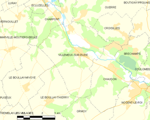
Villemeux-sur-Eure
- commune in Eure-et-Loir, France
- Country:
- Postal Code: 28210
- Coordinates: 48° 40' 24" N, 1° 27' 43" E
- GPS tracks (wikiloc): [Link]
- Area: 18.59 sq km
- Population: 1614
- Web site: [Link]