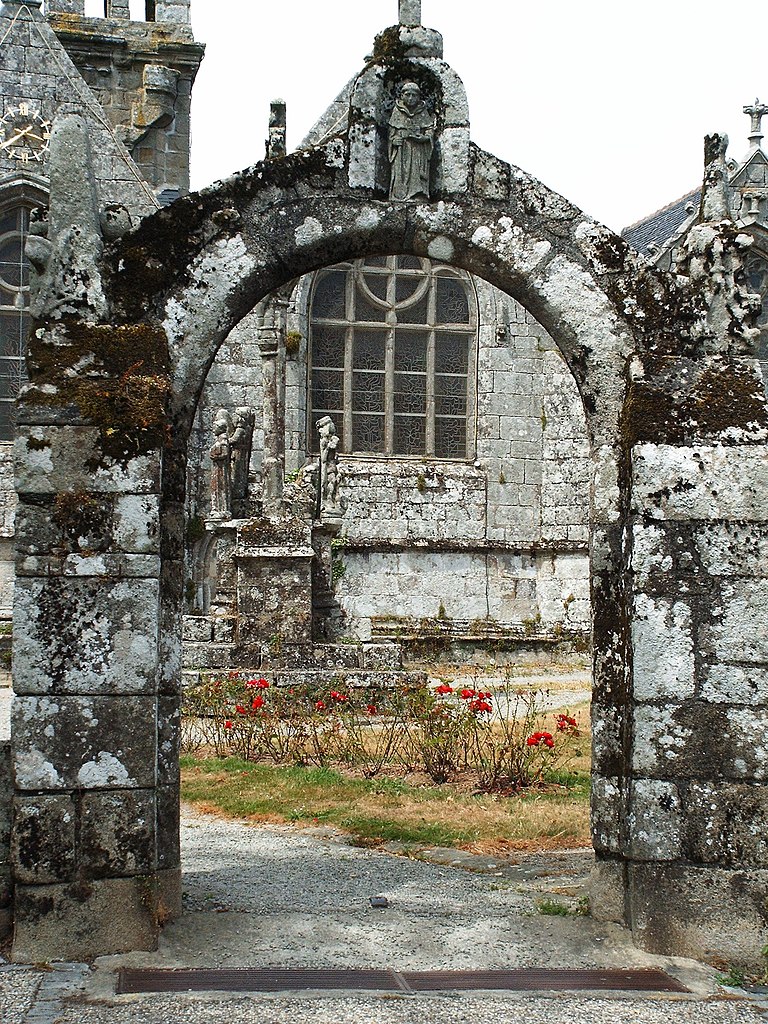
Le Juch (Le Juch)

- commune in Finistère, France
- Country:

- Postal Code: 29100
- Coordinates: 48° 3' 58" N, 4° 15' 16" E


- GPS tracks (wikiloc): [Link]
- Area: 14.38 sq km
- Population: 725
- Web site: http://www.lejuch.fr
- Wikipedia en: wiki(en)
- Wikipedia: wiki(fr)
- Wikidata storage: Wikidata: Q456825
- Wikipedia Commons Gallery: [Link]
- Wikipedia Commons Category: [Link]
- Freebase ID: [/m/03gxbd9]
- GeoNames ID: Alt: [3003740]
- SIREN number: [212900872]
- BnF ID: [15254440j]
- INSEE municipality code: 29087
Shares border with regions:
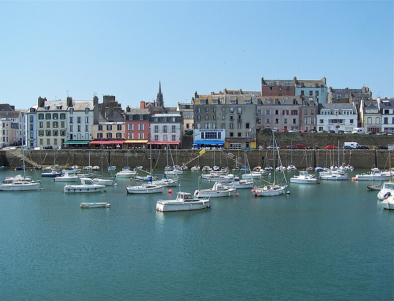

Douarnenez
- commune in Finistère, France
- Country:
- Postal Code: 29100
- Coordinates: 48° 5' 32" N, 4° 19' 49" E
- GPS tracks (wikiloc): [Link]
- AboveSeaLevel: 61 м m
- Area: 24.94 sq km
- Population: 14208
- Web site: [Link]


Pouldergat
- commune in Finistère, France
- Country:
- Postal Code: 29100
- Coordinates: 48° 2' 36" N, 4° 19' 39" E
- GPS tracks (wikiloc): [Link]
- Area: 24.39 sq km
- Population: 1218
- Web site: [Link]

Guengat
- commune in Finistère, France
- Country:
- Postal Code: 29180
- Coordinates: 48° 2' 31" N, 4° 12' 17" E
- GPS tracks (wikiloc): [Link]
- Area: 22.72 sq km
- Population: 1755
- Web site: [Link]

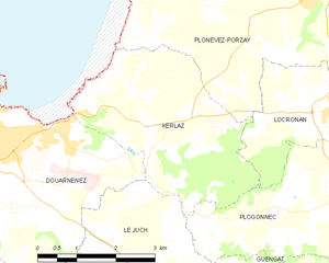
Kerlaz
- commune in Finistère, France
- Country:
- Postal Code: 29100
- Coordinates: 48° 5' 32" N, 4° 16' 26" E
- GPS tracks (wikiloc): [Link]
- Area: 11.45 sq km
- Population: 830


Plogonnec
- commune in Finistère, France
- Country:
- Postal Code: 29180
- Coordinates: 48° 4' 40" N, 4° 11' 40" E
- GPS tracks (wikiloc): [Link]
- Area: 54.14 sq km
- Population: 3126
- Web site: [Link]


Gourlizon
- commune in Finistère, France
- Country:
- Postal Code: 29710
- Coordinates: 48° 1' 7" N, 4° 15' 58" E
- GPS tracks (wikiloc): [Link]
- Area: 9.91 sq km
- Population: 898
- Web site: [Link]