Le Menoux (Le Menoux)

- commune in Indre, France
- Country:

- Postal Code: 36200
- Coordinates: 46° 33' 16" N, 1° 34' 11" E


- GPS tracks (wikiloc): [Link]
- Area: 5.58 sq km
- Population: 427
- Wikipedia en: wiki(en)
- Wikipedia: wiki(fr)
- Wikidata storage: Wikidata: Q670445
- Wikipedia Commons Category: [Link]
- Freebase ID: [/m/03nvbxc]
- GeoNames ID: Alt: [3003447]
- SIREN number: [213601172]
- BnF ID: [152574210]
- INSEE municipality code: 36117
Shares border with regions:


Chavin
- commune in Indre, France
- Country:
- Postal Code: 36200
- Coordinates: 46° 33' 40" N, 1° 36' 39" E
- GPS tracks (wikiloc): [Link]
- Area: 14.01 sq km
- Population: 273

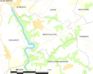
Badecon-le-Pin
- commune in Indre, France
- Country:
- Postal Code: 36200
- Coordinates: 46° 32' 26" N, 1° 35' 31" E
- GPS tracks (wikiloc): [Link]
- Area: 9.88 sq km
- Population: 739
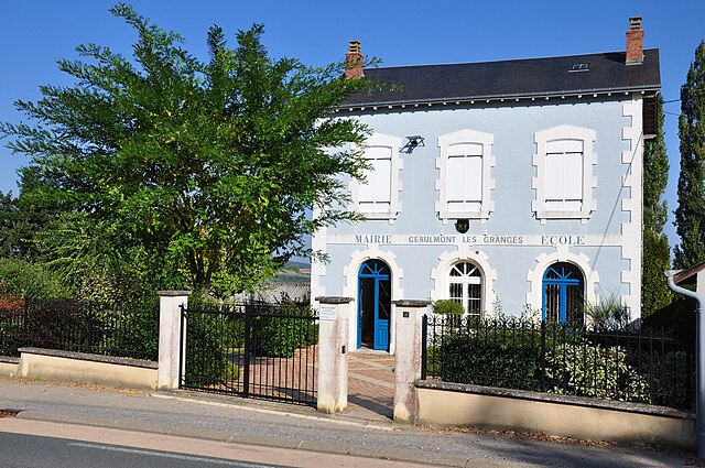

Ceaulmont
- commune in Indre, France
- Country:
- Postal Code: 36200
- Coordinates: 46° 31' 53" N, 1° 33' 9" E
- GPS tracks (wikiloc): [Link]
- Area: 17.38 sq km
- Population: 734
- Web site: [Link]


Le Pêchereau
- commune in Indre, France
- Country:
- Postal Code: 36200
- Coordinates: 46° 34' 41" N, 1° 32' 51" E
- GPS tracks (wikiloc): [Link]
- Area: 20.94 sq km
- Population: 1855
- Web site: [Link]