Le Péage-de-Roussillon (Le Péage-de-Roussillon)

- commune in Isère, France
- Country:

- Postal Code: 38550
- Coordinates: 45° 22' 23" N, 4° 47' 51" E


- GPS tracks (wikiloc): [Link]
- Area: 7.41 sq km
- Population: 6622
- Web site: http://www.le-peage-de-roussillon.fr
- Wikipedia en: wiki(en)
- Wikipedia: wiki(fr)
- Wikidata storage: Wikidata: Q1068581
- Wikipedia Commons Category: [Link]
- Freebase ID: [/m/03g_61y]
- GeoNames ID: Alt: [6455945]
- SIREN number: [213802986]
- BnF ID: [15258110r]
- VIAF ID: Alt: [151017646]
- WOEID: [603879]
- INSEE municipality code: 38298
Shares border with regions:

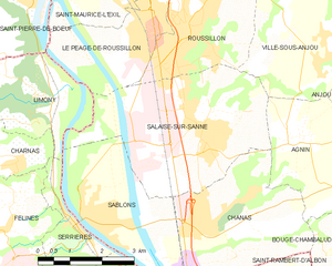
Salaise-sur-Sanne
- commune in Isère, France
- Country:
- Postal Code: 38150
- Coordinates: 45° 20' 40" N, 4° 49' 9" E
- GPS tracks (wikiloc): [Link]
- Area: 16.15 sq km
- Population: 4551
- Web site: [Link]
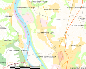
Saint-Maurice-l'Exil
- commune in Isère, France
- Country:
- Postal Code: 38550
- Coordinates: 45° 23' 49" N, 4° 46' 29" E
- GPS tracks (wikiloc): [Link]
- Area: 12.82 sq km
- Population: 6044
- Web site: [Link]

Limony
- commune in Ardèche, France
- Country:
- Postal Code: 07340
- Coordinates: 45° 21' 7" N, 4° 45' 28" E
- GPS tracks (wikiloc): [Link]
- Area: 7.22 sq km
- Population: 736

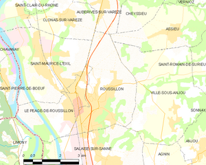
Roussillon
- commune in Isère, France
- Country:
- Postal Code: 38150
- Coordinates: 45° 22' 19" N, 4° 48' 42" E
- GPS tracks (wikiloc): [Link]
- Area: 11.62 sq km
- Population: 8272
- Web site: [Link]


Saint-Pierre-de-Bœuf
- commune in Loire, France
- Country:
- Postal Code: 42520
- Coordinates: 45° 22' 58" N, 4° 44' 58" E
- GPS tracks (wikiloc): [Link]
- Area: 5.95 sq km
- Population: 1752
- Web site: [Link]