Roussillon (Roussillon)

- commune in Isère, France
- Country:

- Postal Code: 38150
- Coordinates: 45° 22' 19" N, 4° 48' 42" E


- GPS tracks (wikiloc): [Link]
- Area: 11.62 sq km
- Population: 8272
- Web site: http://www.ville-roussillon-isere.fr
- Wikipedia en: wiki(en)
- Wikipedia: wiki(fr)
- Wikidata storage: Wikidata: Q632191
- Wikipedia Commons Category: [Link]
- Freebase ID: [/m/03g_5zh]
- GeoNames ID: Alt: [2982454]
- SIREN number: [213803448]
- BnF ID: [15258155q]
- INSEE municipality code: 38344
Shares border with regions:
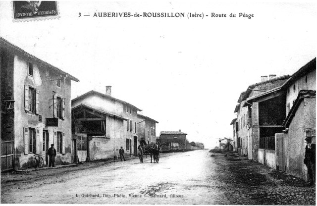

Auberives-sur-Varèze
- commune in Isère, France
- Country:
- Postal Code: 38550
- Coordinates: 45° 25' 28" N, 4° 49' 5" E
- GPS tracks (wikiloc): [Link]
- Area: 7.05 sq km
- Population: 1488


Assieu
- commune in Isère, France
- Country:
- Postal Code: 38150
- Coordinates: 45° 24' 26" N, 4° 52' 5" E
- GPS tracks (wikiloc): [Link]
- Area: 12.34 sq km
- Population: 1376
- Web site: [Link]

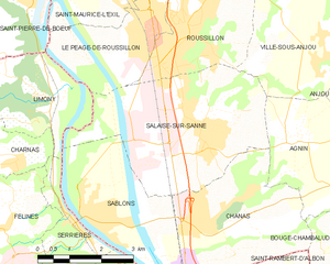
Salaise-sur-Sanne
- commune in Isère, France
- Country:
- Postal Code: 38150
- Coordinates: 45° 20' 40" N, 4° 49' 9" E
- GPS tracks (wikiloc): [Link]
- Area: 16.15 sq km
- Population: 4551
- Web site: [Link]
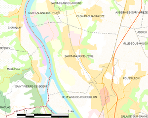
Saint-Maurice-l'Exil
- commune in Isère, France
- Country:
- Postal Code: 38550
- Coordinates: 45° 23' 49" N, 4° 46' 29" E
- GPS tracks (wikiloc): [Link]
- Area: 12.82 sq km
- Population: 6044
- Web site: [Link]
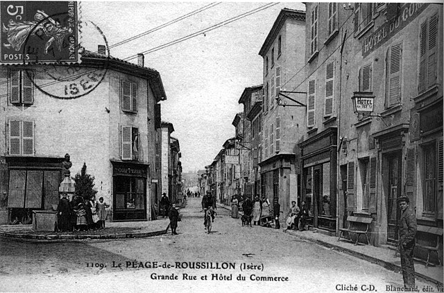

Le Péage-de-Roussillon
- commune in Isère, France
- Country:
- Postal Code: 38550
- Coordinates: 45° 22' 23" N, 4° 47' 51" E
- GPS tracks (wikiloc): [Link]
- Area: 7.41 sq km
- Population: 6622
- Web site: [Link]


Ville-sous-Anjou
- commune in Isère, France
 Hiking in Ville-sous-Anjou
Ville-sous-Anjou, located in the Auvergne-Rhône-Alpes region of France, offers a variety of beautiful hiking trails that showcase the natural beauty of the surrounding landscape. While specific trails in Ville-sous-Anjou may not be widely documented, the region is known for its picturesque countryside, rolling hills, and proximity to national parks and natural reserves. Here are some key points to consider when hiking in this area:...
- Country:
- Postal Code: 38150
- Coordinates: 45° 21' 43" N, 4° 51' 49" E
- GPS tracks (wikiloc): [Link]
- Area: 18.25 sq km
- Population: 1203


Clonas-sur-Varèze
- commune in Isère, France
- Country:
- Postal Code: 38550
- Coordinates: 45° 24' 51" N, 4° 47' 27" E
- GPS tracks (wikiloc): [Link]
- Area: 6.83 sq km
- Population: 1482