Le Pin (Le Pin)

- commune in Loire-Atlantique, France
- Country:

- Postal Code: 44540
- Coordinates: 47° 35' 21" N, 1° 9' 13" E


- GPS tracks (wikiloc): [Link]
- Area: 24.95 sq km
- Population: 785
- Web site: http://www.pays-ancenis.fr/index.php?id=4402
- Wikipedia en: wiki(en)
- Wikipedia: wiki(fr)
- Wikidata storage: Wikidata: Q670865
- Wikipedia Commons Category: [Link]
- Freebase ID: [/m/03nwdbq]
- Freebase ID: [/m/03nwdbq]
- GeoNames ID: Alt: [6614972]
- GeoNames ID: Alt: [6614972]
- SIREN number: [214401242]
- SIREN number: [214401242]
- BnF ID: [15260293t]
- BnF ID: [15260293t]
- INSEE municipality code: 44124
- INSEE municipality code: 44124
Shares border with regions:


Saint-Sulpice-des-Landes
- commune in Loire-Atlantique, France
- Country:
- Postal Code: 44540
- Coordinates: 47° 34' 29" N, 1° 12' 22" E
- GPS tracks (wikiloc): [Link]
- Area: 30.78 sq km
- Population: 686
- Web site: [Link]


Challain-la-Potherie
- commune in Maine-et-Loire, France
- Country:
- Postal Code: 49440
- Coordinates: 47° 38' 10" N, 1° 2' 47" E
- GPS tracks (wikiloc): [Link]
- Area: 47.87 sq km
- Population: 824

Freigné
- commune in Maine-et-Loire, France
- Country:
- Postal Code: 49440
- Coordinates: 47° 32' 55" N, 1° 7' 20" E
- GPS tracks (wikiloc): [Link]
- Area: 65.26 sq km
- Population: 1131

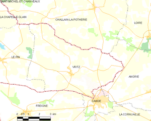
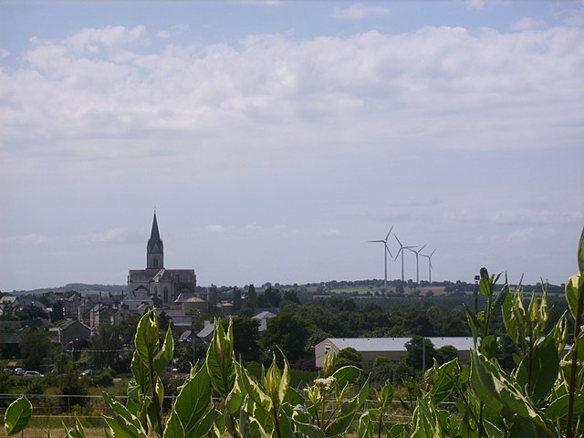
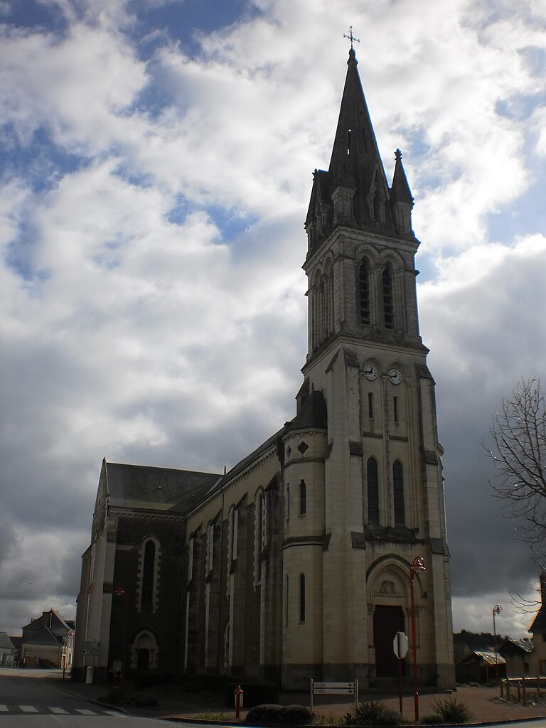
Vritz
- commune in Loire-Atlantique, France
- Country:
- Postal Code: 44540
- Coordinates: 47° 34' 54" N, 1° 4' 11" E
- GPS tracks (wikiloc): [Link]
- Area: 32.89 sq km
- Population: 804
- Web site: [Link]
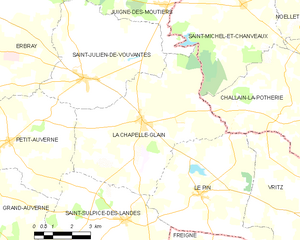
La Chapelle-Glain
- commune in Loire-Atlantique, France
- Country:
- Postal Code: 44670
- Coordinates: 47° 37' 23" N, 1° 11' 49" E
- GPS tracks (wikiloc): [Link]
- Area: 34.5 sq km
- Population: 819
- Web site: [Link]