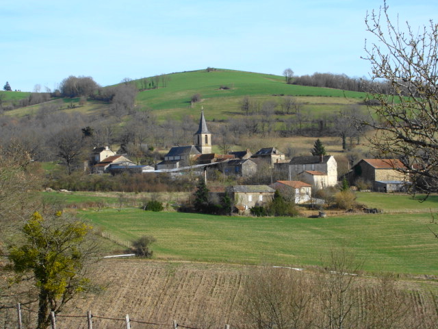
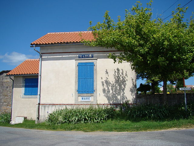
Le Ségur (Le Ségur)

- commune in Tarn, France
- Country:

- Postal Code: 81640
- Coordinates: 44° 6' 29" N, 2° 3' 30" E


- GPS tracks (wikiloc): [Link]
- AboveSeaLevel: 368 м m
- Area: 18.91 sq km
- Population: 247
- Web site: http://www.le-segur-81.fr
- Wikipedia en: wiki(en)
- Wikipedia: wiki(fr)
- Wikidata storage: Wikidata: Q513458
- Wikipedia Commons Category: [Link]
- Freebase ID: [/m/03qm5hy]
- GeoNames ID: Alt: [6617801]
- SIREN number: [218102804]
- BnF ID: [152775868]
- INSEE municipality code: 81280
Shares border with regions:


Salles
- commune in Tarn, France
- Country:
- Postal Code: 81640
- Coordinates: 44° 4' 23" N, 2° 2' 9" E
- GPS tracks (wikiloc): [Link]
- Area: 8.19 sq km
- Population: 183
- Web site: [Link]

Saint-Christophe
- commune in Tarn, France
- Country:
- Postal Code: 81190
- Coordinates: 44° 9' 5" N, 2° 2' 53" E
- GPS tracks (wikiloc): [Link]
- Area: 14.47 sq km
- Population: 134


Montirat
- commune in Tarn, France
- Country:
- Postal Code: 81190
- Coordinates: 44° 9' 33" N, 2° 6' 10" E
- GPS tracks (wikiloc): [Link]
- Area: 27.78 sq km
- Population: 257

Laparrouquial
- commune in Tarn, France
- Country:
- Postal Code: 81640
- Coordinates: 44° 6' 42" N, 2° 1' 32" E
- GPS tracks (wikiloc): [Link]
- Area: 8.43 sq km
- Population: 110


Saint-Marcel-Campes
- commune in Tarn, France
- Country:
- Postal Code: 81170
- Coordinates: 44° 4' 48" N, 1° 59' 22" E
- GPS tracks (wikiloc): [Link]
- AboveSeaLevel: 400 м m
- Area: 22.34 sq km
- Population: 206

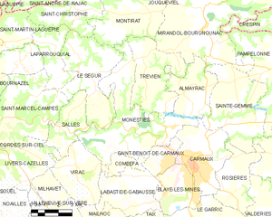
Monestiés
- commune in Tarn, France
- Country:
- Postal Code: 81640
- Coordinates: 44° 4' 16" N, 2° 5' 50" E
- GPS tracks (wikiloc): [Link]
- Area: 26.83 sq km
- Population: 1388