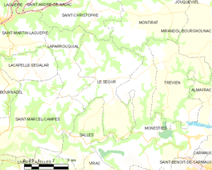
canton of Monestiés (canton de Monestiés)
- canton of France
- Country:

- Capital: Monestiés
- Coordinates: 44° 5' 59" N, 2° 4' 16" E


- GPS tracks (wikiloc): [Link]
- Wikidata storage: Wikidata: Q1726268
- Library of Congress authority ID: Alt: [n94014407]
- INSEE canton code: [8120]
Includes regions:


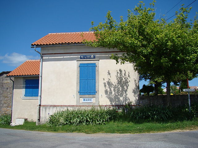
Salles
- commune in Tarn, France
- Country:
- Postal Code: 81640
- Coordinates: 44° 4' 23" N, 2° 2' 9" E
- GPS tracks (wikiloc): [Link]
- Area: 8.19 sq km
- Population: 183
- Web site: [Link]


Trévien
- commune in Tarn, France
- Country:
- Postal Code: 81190
- Coordinates: 44° 6' 38" N, 2° 7' 25" E
- GPS tracks (wikiloc): [Link]
- Area: 16.26 sq km
- Population: 188
Virac
- commune in Tarn, France
- Country:
- Postal Code: 81640
- Coordinates: 44° 2' 48" N, 2° 2' 41" E
- GPS tracks (wikiloc): [Link]
- Area: 11.44 sq km
- Population: 222

Saint-Christophe
- commune in Tarn, France
- Country:
- Postal Code: 81190
- Coordinates: 44° 9' 5" N, 2° 2' 53" E
- GPS tracks (wikiloc): [Link]
- Area: 14.47 sq km
- Population: 134


Montirat
- commune in Tarn, France
- Country:
- Postal Code: 81190
- Coordinates: 44° 9' 33" N, 2° 6' 10" E
- GPS tracks (wikiloc): [Link]
- Area: 27.78 sq km
- Population: 257

Laparrouquial
- commune in Tarn, France
- Country:
- Postal Code: 81640
- Coordinates: 44° 6' 42" N, 2° 1' 32" E
- GPS tracks (wikiloc): [Link]
- Area: 8.43 sq km
- Population: 110

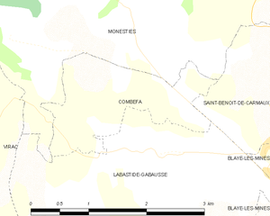
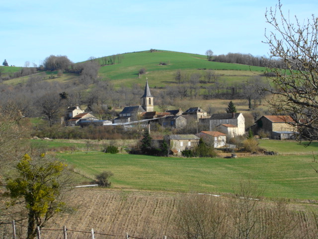
Combefa
- commune in Tarn, France
- Country:
- Postal Code: 81640
- Coordinates: 44° 3' 18" N, 2° 5' 46" E
- GPS tracks (wikiloc): [Link]
- Area: 2.93 sq km
- Population: 158
Le Ségur
- commune in Tarn, France
- Country:
- Postal Code: 81640
- Coordinates: 44° 6' 29" N, 2° 3' 30" E
- GPS tracks (wikiloc): [Link]
- AboveSeaLevel: 368 м m
- Area: 18.91 sq km
- Population: 247
- Web site: [Link]

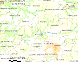
Monestiés
- commune in Tarn, France
- Country:
- Postal Code: 81640
- Coordinates: 44° 4' 16" N, 2° 5' 50" E
- GPS tracks (wikiloc): [Link]
- Area: 26.83 sq km
- Population: 1388