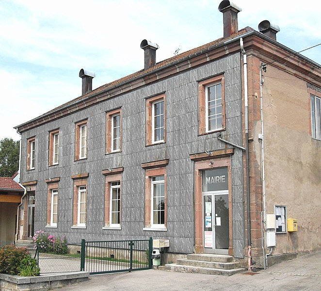
Le Tholy (Le Tholy)

- commune in Vosges, France
- Country:

- Postal Code: 88530
- Coordinates: 48° 4' 59" N, 6° 44' 38" E


- GPS tracks (wikiloc): [Link]
- Area: 30.76 sq km
- Population: 1584
- Web site: http://www.mairie-letholy.fr
- Wikipedia en: wiki(en)
- Wikipedia: wiki(fr)
- Wikidata storage: Wikidata: Q922980
- Wikipedia Commons Category: [Link]
- Freebase ID: [/m/03qh6d0]
- Freebase ID: [/m/03qh6d0]
- GeoNames ID: Alt: [2999181]
- GeoNames ID: Alt: [2999181]
- SIREN number: [218804706]
- SIREN number: [218804706]
- BnF ID: [152793897]
- BnF ID: [152793897]
- VIAF ID: Alt: [128007482]
- VIAF ID: Alt: [128007482]
- Library of Congress authority ID: Alt: [n96031396]
- Library of Congress authority ID: Alt: [n96031396]
- WOEID: [604681]
- WOEID: [604681]
- TGN ID: [1033943]
- TGN ID: [1033943]
- INSEE municipality code: 88470
- INSEE municipality code: 88470
Shares border with regions:


Cleurie
- commune in Vosges, France
- Country:
- Postal Code: 88120
- Coordinates: 48° 3' 3" N, 6° 40' 33" E
- GPS tracks (wikiloc): [Link]
- Area: 11.04 sq km
- Population: 661
- Web site: [Link]


Tendon
- commune in Vosges, France
- Country:
- Postal Code: 88460
- Coordinates: 48° 7' 18" N, 6° 40' 44" E
- GPS tracks (wikiloc): [Link]
- Area: 21.85 sq km
- Population: 523


Gérardmer
- commune in Vosges, France
- Country:
- Postal Code: 88400
- Coordinates: 48° 4' 20" N, 6° 52' 43" E
- GPS tracks (wikiloc): [Link]
- AboveSeaLevel: 670 м m
- Area: 54.78 sq km
- Population: 8294
- Web site: [Link]


La Forge
- commune in Vosges, France
- Country:
- Postal Code: 88530
- Coordinates: 48° 3' 56" N, 6° 43' 28" E
- GPS tracks (wikiloc): [Link]
- Area: 4.72 sq km
- Population: 537

Liézey
- commune in Vosges, France
- Country:
- Postal Code: 88400
- Coordinates: 48° 5' 37" N, 6° 48' 19" E
- GPS tracks (wikiloc): [Link]
- Area: 13.27 sq km
- Population: 270


Rehaupal
- commune in Vosges, France
- Country:
- Postal Code: 88640
- Coordinates: 48° 7' 10" N, 6° 43' 55" E
- GPS tracks (wikiloc): [Link]
- Area: 4.72 sq km
- Population: 205


Le Syndicat
- commune in Vosges, France
- Country:
- Postal Code: 88120
- Coordinates: 48° 1' 25" N, 6° 41' 5" E
- GPS tracks (wikiloc): [Link]
- Area: 18.29 sq km
- Population: 1925


Sapois
- commune in Vosges, France
- Country:
- Postal Code: 88120
- Coordinates: 48° 1' 11" N, 6° 45' 27" E
- GPS tracks (wikiloc): [Link]
- Area: 16.89 sq km
- Population: 649


Vagney
- commune in Vosges, France
- Country:
- Postal Code: 88120
- Coordinates: 48° 0' 30" N, 6° 42' 59" E
- GPS tracks (wikiloc): [Link]
- Area: 24.91 sq km
- Population: 3949
- Web site: [Link]