Lengronne (Lengronne)

- commune in Manche, France
- Country:

- Postal Code: 50510
- Coordinates: 48° 56' 1" N, 1° 22' 57" E


- GPS tracks (wikiloc): [Link]
- Area: 12.07 sq km
- Population: 438
- Wikipedia en: wiki(en)
- Wikipedia: wiki(fr)
- Wikidata storage: Wikidata: Q686764
- Wikipedia Commons Category: [Link]
- Freebase ID: [/m/03nx931]
- Freebase ID: [/m/03nx931]
- GeoNames ID: Alt: [6435464]
- GeoNames ID: Alt: [6435464]
- SIREN number: [215002668]
- SIREN number: [215002668]
- BnF ID: [152622412]
- BnF ID: [152622412]
- INSEE municipality code: 50266
- INSEE municipality code: 50266
Shares border with regions:

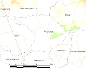
Guéhébert
- commune in Manche, France
- Country:
- Postal Code: 50210
- Coordinates: 48° 58' 12" N, 1° 22' 24" E
- GPS tracks (wikiloc): [Link]
- AboveSeaLevel: 67 м m
- Area: 6.29 sq km
- Population: 121


Gavray
- commune in Manche, France
- Country:
- Postal Code: 50450
- Coordinates: 48° 54' 40" N, 1° 21' 2" E
- GPS tracks (wikiloc): [Link]
- Area: 20.6 sq km
- Population: 1462
- Web site: [Link]

Ver
- commune in Manche, France
- Country:
- Postal Code: 50450
- Coordinates: 48° 53' 38" N, 1° 23' 34" E
- GPS tracks (wikiloc): [Link]
- Area: 13.27 sq km
- Population: 374


Grimesnil
- commune in Manche, France
- Country:
- Postal Code: 50450
- Coordinates: 48° 57' 14" N, 1° 21' 0" E
- GPS tracks (wikiloc): [Link]
- Area: 2.61 sq km
- Population: 62

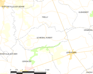
Le Mesnil-Aubert
- commune in Manche, France
- Country:
- Postal Code: 50510
- Coordinates: 48° 56' 46" N, 1° 24' 48" E
- GPS tracks (wikiloc): [Link]
- Area: 5.96 sq km
- Population: 176


Cérences
- commune in Manche, France
- Country:
- Postal Code: 50510
- Coordinates: 48° 54' 59" N, 1° 26' 8" E
- GPS tracks (wikiloc): [Link]
- Area: 26.04 sq km
- Population: 1877
- Web site: [Link]


Saint-Denis-le-Gast
- commune in Manche, France
- Country:
- Postal Code: 50450
- Coordinates: 48° 56' 25" N, 1° 19' 46" E
- GPS tracks (wikiloc): [Link]
- Area: 16.73 sq km
- Population: 549