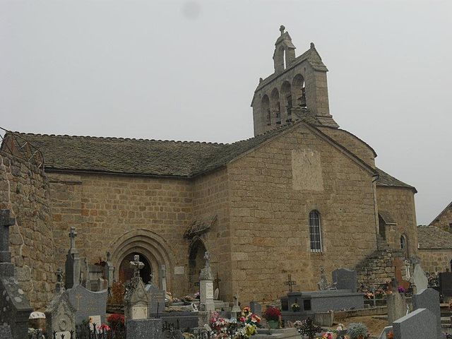
Les Laubies (Les Laubies)

- commune in Lozère, France
- Country:

- Postal Code: 48700
- Coordinates: 44° 41' 9" N, 3° 25' 46" E


- GPS tracks (wikiloc): [Link]
- Area: 22.8 sq km
- Population: 172
- Web site: http://www.les-laubies.fr/
- Wikipedia en: wiki(en)
- Wikipedia: wiki(fr)
- Wikidata storage: Wikidata: Q721356
- Wikipedia Commons Category: [Link]
- Freebase ID: [/m/02z0ybp]
- Freebase ID: [/m/02z0ybp]
- GeoNames ID: Alt: [6615082]
- GeoNames ID: Alt: [6615082]
- SIREN number: [214800831]
- SIREN number: [214800831]
- BnF ID: [15261489c]
- BnF ID: [15261489c]
- INSEE municipality code: 48083
- INSEE municipality code: 48083
Shares border with regions:


Saint-Amans
- commune in Lozère, France
- Country:
- Postal Code: 48700
- Coordinates: 44° 39' 47" N, 3° 27' 0" E
- GPS tracks (wikiloc): [Link]
- Area: 9.98 sq km
- Population: 154


Estables
- commune in Lozère, France
- Country:
- Postal Code: 48700
- Coordinates: 44° 40' 7" N, 3° 29' 13" E
- GPS tracks (wikiloc): [Link]
- Area: 32.89 sq km
- Population: 165


Serverette
- commune in Lozère, France
- Country:
- Postal Code: 48700
- Coordinates: 44° 42' 15" N, 3° 23' 10" E
- GPS tracks (wikiloc): [Link]
- Area: 17.35 sq km
- Population: 263

Fontans
- commune in Lozère, France
- Country:
- Postal Code: 48700
- Coordinates: 44° 44' 20" N, 3° 23' 12" E
- GPS tracks (wikiloc): [Link]
- Area: 33.9 sq km
- Population: 212
Saint-Gal
- commune in Lozère, France
- Country:
- Postal Code: 48700
- Coordinates: 44° 40' 8" N, 3° 25' 30" E
- GPS tracks (wikiloc): [Link]
- Area: 9.88 sq km
- Population: 94
Saint-Denis-en-Margeride
- commune in Lozère, France
- Country:
- Postal Code: 48700
- Coordinates: 44° 44' 8" N, 3° 28' 18" E
- GPS tracks (wikiloc): [Link]
- Area: 38.67 sq km
- Population: 174