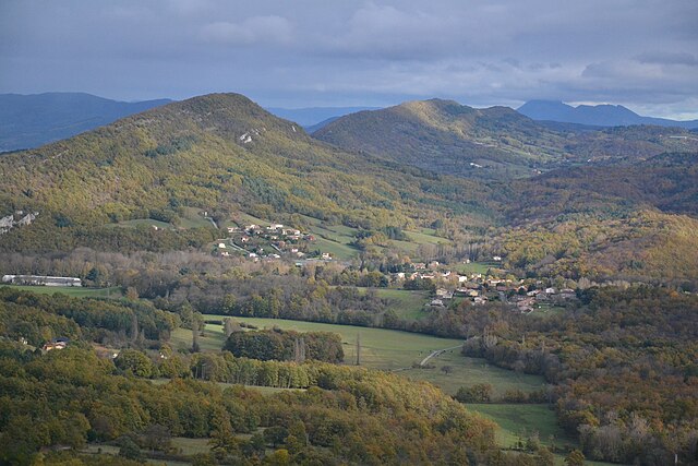
Lesparrou (Lesparrou)

- commune in Ariège, France
- Country:

- Postal Code: 09300
- Coordinates: 42° 55' 50" N, 1° 54' 16" E


- GPS tracks (wikiloc): [Link]
- Area: 16.09 sq km
- Population: 231
- Wikipedia en: wiki(en)
- Wikipedia: wiki(fr)
- Wikidata storage: Wikidata: Q256747
- Wikipedia Commons Category: [Link]
- Freebase ID: [/m/03m8mxw]
- GeoNames ID: Alt: [6426226]
- SIREN number: [210901658]
- INSEE municipality code: 09165
Shares border with regions:


Rivel
- commune in Aude, France
- Country:
- Postal Code: 11230
- Coordinates: 42° 56' 40" N, 2° 0' 1" E
- GPS tracks (wikiloc): [Link]
- Area: 24.3 sq km
- Population: 196


Sainte-Colombe-sur-l'Hers
- commune in Aude, France
- Country:
- Postal Code: 11230
- Coordinates: 42° 57' 9" N, 1° 57' 58" E
- GPS tracks (wikiloc): [Link]
- Area: 10.61 sq km
- Population: 447
Dreuilhe
- commune in Ariège, France
- Country:
- Postal Code: 09300
- Coordinates: 42° 56' 49" N, 1° 51' 35" E
- GPS tracks (wikiloc): [Link]
- Area: 6.93 sq km
- Population: 353
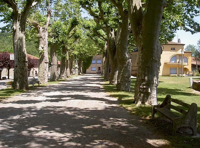
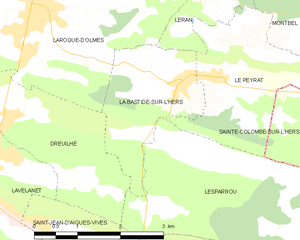
La Bastide-sur-l'Hers
- commune in Ariège, France
- Country:
- Postal Code: 09600
- Coordinates: 42° 57' 21" N, 1° 54' 32" E
- GPS tracks (wikiloc): [Link]
- Area: 4.77 sq km
- Population: 697

Le Peyrat
- commune in Ariège, France
- Country:
- Postal Code: 09600
- Coordinates: 42° 57' 24" N, 1° 55' 14" E
- GPS tracks (wikiloc): [Link]
- Area: 6.13 sq km
- Population: 480

Bélesta
- commune in Ariège, France
- Country:
- Postal Code: 09300
- Coordinates: 42° 54' 13" N, 1° 56' 4" E
- GPS tracks (wikiloc): [Link]
- Area: 26.94 sq km
- Population: 1029

L'Aiguillon
- commune in Ariège, France
- Country:
- Postal Code: 09300
- Coordinates: 42° 55' 2" N, 1° 54' 4" E
- GPS tracks (wikiloc): [Link]
- Area: 6.37 sq km
- Population: 420