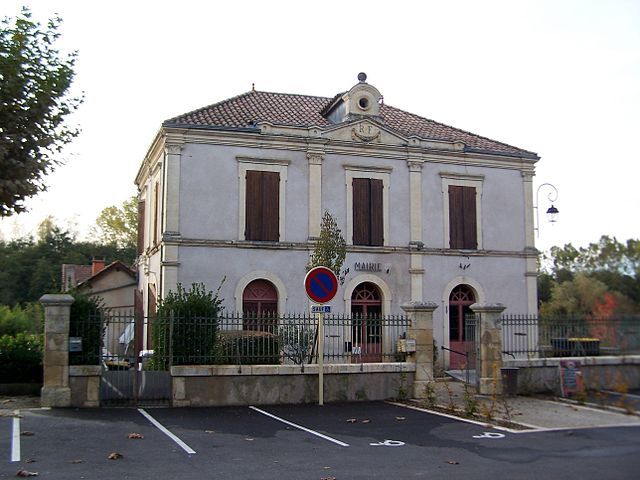
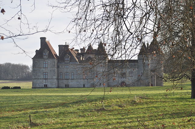
Leyritz-Moncassin (Leyritz-Moncassin)

- commune in Lot-et-Garonne, France
- Country:

- Postal Code: 47700
- Coordinates: 44° 19' 38" N, 0° 9' 39" E


- GPS tracks (wikiloc): [Link]
- Area: 20.24 sq km
- Population: 214
- Wikipedia en: wiki(en)
- Wikipedia: wiki(fr)
- Wikidata storage: Wikidata: Q387037
- Wikipedia Commons Category: [Link]
- Freebase ID: [/m/03qm1yw]
- GeoNames ID: Alt: [6434988]
- SIREN number: [214701484]
- BnF ID: [15261229z]
- INSEE municipality code: 47148
Shares border with regions:

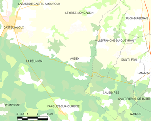
Anzex
- commune in Lot-et-Garonne, France
- Country:
- Postal Code: 47700
- Coordinates: 44° 17' 3" N, 0° 9' 57" E
- GPS tracks (wikiloc): [Link]
- Area: 23.24 sq km
- Population: 312

Villefranche-du-Queyran
- commune in Lot-et-Garonne, France
- Country:
- Postal Code: 47160
- Coordinates: 44° 18' 28" N, 0° 11' 49" E
- GPS tracks (wikiloc): [Link]
- Area: 16.55 sq km
- Population: 405


Labastide-Castel-Amouroux
- commune in Lot-et-Garonne, France
- Country:
- Postal Code: 47250
- Coordinates: 44° 20' 23" N, 0° 7' 31" E
- GPS tracks (wikiloc): [Link]
- Area: 11.95 sq km
- Population: 312


Sainte-Gemme-Martaillac
- commune in Lot-et-Garonne, France
- Country:
- Postal Code: 47250
- Coordinates: 44° 21' 59" N, 0° 9' 8" E
- GPS tracks (wikiloc): [Link]
- Area: 14 sq km
- Population: 420
Calonges
- commune in Lot-et-Garonne, France
- Country:
- Postal Code: 47430
- Coordinates: 44° 22' 26" N, 0° 14' 27" E
- GPS tracks (wikiloc): [Link]
- Area: 15.99 sq km
- Population: 625
- Web site: [Link]


Casteljaloux
- commune in Lot-et-Garonne, France
- Country:
- Postal Code: 47700
- Coordinates: 44° 18' 52" N, 0° 5' 17" E
- GPS tracks (wikiloc): [Link]
- Area: 30.59 sq km
- Population: 4659
- Web site: [Link]

La Réunion
- commune in Lot-et-Garonne, France
- Country:
- Postal Code: 47700
- Coordinates: 44° 17' 51" N, 0° 7' 4" E
- GPS tracks (wikiloc): [Link]
- AboveSeaLevel: 100 м m
- Area: 28.06 sq km
- Population: 488


Razimet
- commune in Lot-et-Garonne, France
- Country:
- Postal Code: 47160
- Coordinates: 44° 21' 8" N, 0° 14' 5" E
- GPS tracks (wikiloc): [Link]
- Area: 7.18 sq km
- Population: 323