Linthelles (Linthelles)

- commune in Marne, France
- Country:

- Postal Code: 51230
- Coordinates: 48° 43' 0" N, 3° 49' 20" E


- GPS tracks (wikiloc): [Link]
- Area: 11.02 sq km
- Population: 109
- Wikipedia en: wiki(en)
- Wikipedia: wiki(fr)
- Wikidata storage: Wikidata: Q1219601
- Wikipedia Commons Category: [Link]
- Freebase ID: [/m/03qd7lw]
- GeoNames ID: Alt: [6435869]
- SIREN number: [215103029]
- BnF ID: [15262927f]
- PACTOLS thesaurus ID: [pcrtkzs5jxs7Qc]
- INSEE municipality code: 51323
Shares border with regions:


Gaye
- commune in Marne, France
- Country:
- Postal Code: 51120
- Coordinates: 48° 40' 59" N, 3° 48' 9" E
- GPS tracks (wikiloc): [Link]
- Area: 21.13 sq km
- Population: 593

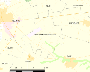
Saint-Remy-sous-Broyes
- commune in Marne, France
- Country:
- Postal Code: 51120
- Coordinates: 48° 42' 6" N, 3° 46' 27" E
- GPS tracks (wikiloc): [Link]
- Area: 7.75 sq km
- Population: 105


Saint-Loup
- commune in Marne, France
- Country:
- Postal Code: 51120
- Coordinates: 48° 44' 15" N, 3° 48' 38" E
- GPS tracks (wikiloc): [Link]
- Area: 6.88 sq km
- Population: 83
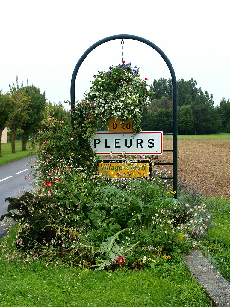

Pleurs
- commune in Marne, France
- Country:
- Postal Code: 51230
- Coordinates: 48° 41' 27" N, 3° 52' 15" E
- GPS tracks (wikiloc): [Link]
- Area: 16.72 sq km
- Population: 885


Péas
- commune in Marne, France
- Country:
- Postal Code: 51120
- Coordinates: 48° 44' 34" N, 3° 46' 42" E
- GPS tracks (wikiloc): [Link]
- Area: 7.69 sq km
- Population: 67


Linthes
- commune in Marne, France
- Country:
- Postal Code: 51230
- Coordinates: 48° 43' 48" N, 3° 50' 50" E
- GPS tracks (wikiloc): [Link]
- Area: 9.03 sq km
- Population: 119